29 Crewe Road, Alsager, Stoke On Trent, ST7 2EY
About 29 Crewe Road
29 Crewe Road is a semi-detached house in Alsager, Stoke-On-Trent, Stoke On Trent (ST7 2EY). It has a recorded floor area of 109 m² (around 1173 sq ft), construction records dating it to before 1900 and council tax band C. The latest certificate (March 2023) shows an E (score 51), well below the UK norm with real room to improve. The recommended improvements would lift it to C (score 76), a 2-band jump.
Held since March 2000 — that's 26 years off the open market, well above the local norm. Only one transfer is on record with HM Land Registry, suggesting it has stayed in the same hands for a long time. At 109 m² the property is well over the postcode median (56 m² across 12 EPCs), placing it in the larger end of the local stock. Today's modelled estimate of £239,000 sits 378% above the 2000 sale of £50,000. On a £-per-square-foot basis, the last sale (£43/sq ft) was about 83.7% below the postcode norm. One historical planning record sits against the property in 2013.
Everything you need to know about 29 Crewe Road
The true value, the hidden risks and the full sale history, in one report.
30-day money-back guarantee

The data behind every report


Energy performance
29 Crewe Road's carbon output runs well above what efficient homes in the postcode produce.
EPC Rating
Planning history
- Aug 2013Tree WorksTreesIn report
The tree concerned is on the left hand side of 2 The Avenues rear garden and overhangs the bottom of the rear garden of 29 Crewe Road, Alsager. We wish to simply trim back the over hang of the tree over 29 crewe road and do have owners permission
- Documents
- 6 docs on file
- Reference
- 13/2446T
We flagged 1 thing worth checking at 29 Crewe Road
Independent checks surfaced things a buyer would want to understand before offering. The report explains each one in full, with the underlying data and what to ask.
- Larger development activity nearby
30-day money-back guarantee
Sales history & valuation
29 Crewe Road's modelled value sits at over four times its earliest registered sale price (2000).
£239,000
Modelled from EPC, postcode comparables.
£50,000
Recorded with HM Land Registry.
Sales timeline
24 March 2000Most recent
£50,000
Median price across the last 5 sales in ST7 2EY: £510,000 (2024–2022).
Nearby sales in ST7 2EY
37 Crewe Road, Alsager, Stoke On Trent, ST7 2EY
Sold Oct 2024
£690,000Holly Villa, 27 Crewe Road, Alsager, Stoke On Trent, ST7 2EY
Sold Feb 2024
£290,00053 Crewe Road, Alsager, Stoke On Trent, ST7 2EY
Sold Mar 2023
£158,00039 Crewe Road, Alsager, Stoke On Trent, ST7 2EY
Sold Feb 2023
£550,00043 Crewe Road, Alsager, Stoke On Trent, ST7 2EY
Sold Jun 2022
£510,000
Versus other Crewe Road homes
29 Crewe Road is notably below the street on price per m².
Price per m²
£459
Street avg £2,697
Floor Area
109 m²
Street avg 156 m²
Habitable Rooms
5 rooms
Street avg 7 rooms
CO₂ Emissions
6.5 t/year
Street avg 8.5 t/year
Everything you need to know about 29 Crewe Road
The true value, the hidden risks and the full sale history, in one report.
30-day money-back guarantee
The data behind every report
Similar properties nearby
1 Bainbridge Street, Alsager
ST7 2FH
1 Beeston Drive, Alsager
ST7 2XE
1 Barn Field Way, Alsager
ST7 2GZ
1 Bluebell Way, Alsager
ST7 2GG
1 Bailey Court, Alsager
ST7 2YH
1 Ashmores Lane, Alsager
ST7 2LN
1 Berkeley Avenue, Alsager
ST7 2BW
1 Arrowsmith Drive, Alsager
ST7 2JQ
The neighbourhood at a glance
Rail-style transport is unusually close for this postcode.
Crime
3/mo
Steady year-on-year across the wider district.
Nearest stop
0.0 km
Police Station — bus stop.
Closest school
0.3 km
St Gabriel's Catholic Primary School. 7 schools nearby.
Go deeper on the local area
The full report breaks down crime, transport links, schools and air quality in depth.
Road noise across the postcode
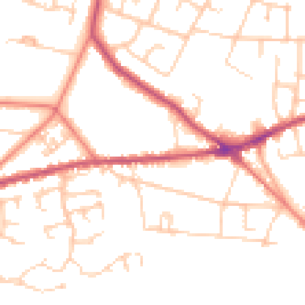
Daytime· 07:00 – 23:00
50.4dB

Night-time· 23:00 – 07:00
40.4dB