4 Bunkers Hill, Talke, Stoke On Trent, ST7 1NZ
About 4 Bunkers Hill
4 Bunkers Hill is an end-of-terrace house in Talke, Stoke-On-Trent, Stoke On Trent (ST7 1NZ). It has a recorded floor area of 58 m² (around 624 sq ft) and construction records dating it to 2021. The latest certificate (May 2024) returns a B (score 83), comfortably above the UK average. The recommended improvements would push it to A (score 97).
At 58 m² it's 17.1% smaller than the typical home in the postcode (70 m² median across 58 EPCs). Sold June 2024 for £174,995.
Everything you need to know about 4 Bunkers Hill
The true value, the hidden risks and the full sale history, in one report.
30-day money-back guarantee

The data behind every report


Energy performance
4 Bunkers Hill's carbon output is low for the local stock.
EPC Rating
Planning history
4 Bunkers Hill has no planning applications on record.
The full report still covers planning activity across the surrounding area.
Sales history & valuation
£187,000
Modelled from EPC, postcode comparables.
£174,995
Recorded with HM Land Registry.
Sales timeline
27 June 2024Most recent
£174,995
Median price across the last 5 sales in ST7 1NZ: £123,995 (2025–2024).
Nearby sales in ST7 1NZ
53 Bunkers Hill, Talke, Stoke On Trent, ST7 1NZ
Sold Aug 2025
£305,0001 Bunkers Hill, Talke, Stoke On Trent, ST7 1NZ
Sold May 2025
£215,00037 Bunkers Hill, Talke, Stoke On Trent, ST7 1NZ
Sold Mar 2025
£110,19635 Bunkers Hill, Talke, Stoke On Trent, ST7 1NZ
Sold Dec 2024
£110,19634 Bunkers Hill, Talke, Stoke On Trent, ST7 1NZ
Sold Dec 2024
£123,995
Versus other Bunkers Hill homes
On floor area, 4 Bunkers Hill runs well behind the street norm.
Price per m²
£3,017
Street avg £2,787
Floor Area
58 m²
Street avg 86 m²
CO₂ Emissions
1.0 t/year
Street avg 1.5 t/year
Years Held
2 years
Street avg 3 years
Everything you need to know about 4 Bunkers Hill
The true value, the hidden risks and the full sale history, in one report.
30-day money-back guarantee
The data behind every report
Similar properties nearby
1 Bevan Avenue, Talke Pits
ST7 1QU
1 Barrie Gardens, Talke
ST7 1PB
1 Bedford Road, Kidsgrove
ST7 1HQ
1 Bellringer Place, Talke
ST7 1GJ
1 Bowling Alley Street, Talke
ST7 1GA
1 Banbury Gardens, Talke
ST7 1LH
1 Bunkers Hill, Talke
ST7 1NZ
1 Beech Drive, Kidsgrove
ST7 1BA
The neighbourhood at a glance
Daytime road noise here sits well below conversation level — a quiet pocket of the postcode.
Crime
3/mo
Steady year-on-year across the wider district.
Nearest stop
0.6 km
Reginald Mitchell School — bus stop.
Closest school
0.5 km
St Saviour's CofE Academy. 13 schools nearby.
Go deeper on the local area
The full report breaks down crime, transport links, schools and air quality in depth.
Road noise across the postcode
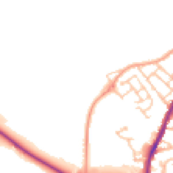
Daytime· 07:00 – 23:00
47.5dB

Night-time· 23:00 – 07:00
39.8dB