31 Third Avenue, Kidsgrove, Stoke On Trent, ST7 1BY
About 31 Third Avenue
31 Third Avenue is a property in Kidsgrove, Stoke-On-Trent, Stoke On Trent (ST7 1BY). It has council tax band A.
Energy performance
No EPC on record
This property doesn't have an Energy Performance Certificate yet. An EPC is required to sell or let — and unlocks our automated valuation.
Planning history
No planning applications are recorded against 31 Third Avenue, Kidsgrove, Stoke On Trent, ST7 1BY. The full report also covers planning activity across the surrounding area.
Sales history & valuation
No sales recorded with HM Land Registry
That can mean the property has never traded since the registry began publishing in 1995, was a new build that hasn't been registered yet, or is held in the same hands long-term.
Median price across the last 5 sales in ST7 1BY: £127,000 (2025–2024).
Nearby sales in ST7 1BY
41 Third Avenue, Kidsgrove, Stoke On Trent, ST7 1BY
Sold Feb 2025
£248,75025 Third Avenue, Kidsgrove, Stoke On Trent, ST7 1BY
Sold Nov 2024
£127,00021 Third Avenue, Kidsgrove, Stoke On Trent, ST7 1BY
Sold Oct 2024
£80,00071 Third Avenue, Kidsgrove, Stoke On Trent, ST7 1BY
Sold Oct 2024
£50,50035 Third Avenue, Kidsgrove, Stoke On Trent, ST7 1BY
Sold Sept 2024
£232,750
Similar properties nearby
1 Ashenough Road, Talke Pits
ST7 1ST
1 Audley Road, Talke Pits
ST7 1UG
1 Bambury Drive, Talke
ST7 1GL
1 Banbury Gardens, Talke
ST7 1LH
1 Barrie Gardens, Talke
ST7 1PB
1 Bassey Gardens, Talke
ST7 1GN
1 Bedford Road, Kidsgrove
ST7 1HQ
1 Beech Drive, Kidsgrove
ST7 1BA
The neighbourhood at a glance
Rail-style transport is unusually close for this postcode.
Crime
3/mo
Steady year-on-year across the wider district.
Nearest stop
0.1 km
Kidsgrove Rail Station — railway station.
Closest school
0.1 km
The King's CofE Academy. 15 schools nearby.
Road noise across the postcode
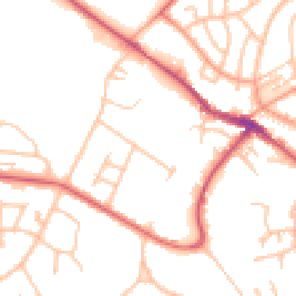
Daytime· 07:00 – 23:00
50.4dB

Night-time· 23:00 – 07:00
40.8dB