Cherrycroft, New Road, Penkridge, Stafford, ST19 5DN
About Cherrycroft
Cherrycroft is a detached house in Penkridge, Stafford, Stafford (ST19 5DN). It has a recorded floor area of 152 m² (around 1636 sq ft), construction records dating it to 1967-1975 and council tax band F. The latest certificate (November 2024) shows a D (score 68), on the cusp of jumping into the C band. The rating has held steady at D across 2 certificates since November 2014. Between certificates, window efficiency went from Poor to Average and lighting went from Poor to Very Good; while wall efficiency dropped from Good to Average and roof efficiency dropped from Average to Poor. The recommended improvements would lift it to B (score 81), a 2-band jump.
Across 2015–2017, sale prices on this property compounded at 34.2% per year. Today's modelled estimate of £457,000 is 21.7% below the 2017 sale of £583,918, an unusual pattern given regional price growth and worth checking against the EPC condition. On a £-per-square-foot basis, the last sale (£357/sq ft) was about 52.1% above the typical sold price in the postcode. At 152 m² the property is well over the postcode median (81 m² across 10 EPCs), placing it in the larger end of the local stock. Last changed hands 9 years ago, in August 2017.
Know exactly what you're buying at Cherrycroft
Before you offer, see what the listing won't tell you, the true value, the red flags and the full history.
Already flagged here
Valuation
against the asking price
Risks
planning & flood
Sold prices
similar homes nearby
Trends
the local market
Energy performance
Recommended upgrades on file would lift this property by multiple EPC bands.
EPC Rating
Property Improvements
Changes detected from historical EPC data
Heating controls upgraded for better temperature management
Windows upgraded, improving insulation
More low energy lighting installed
Planning history
Cherrycroft has no planning applications on record.
Notable planning nearby
1applications of note in the surrounding area
We flagged 2 things worth checking at Cherrycroft
Independent checks surfaced things a buyer would want to understand before offering. The report explains each one in full, with the underlying data and what to ask.
- Larger development activity nearby
- Recent ownership pattern worth a look
30-day money-back guarantee
Sales history & valuation
Cherrycroft changed hands twice within eighteen months — unusual for the area.
£457,000
Modelled from EPC, postcode comparables and a sale-price growth of 34.2% per year over 2 years.
£583,918
Growth on file: 34.2% per year over 2 years.
Sales timeline
6 August 2017Most recent
£583,918
+94.6%over 9 months24 October 2016
£300,000
+1.4%over 1 year16 April 2015
£296,000
Median price across the last 5 sales in ST19 5DN: £355,000 (2025–2020).
Nearby sales in ST19 5DN
Berryhead, New Road, Penkridge, Stafford, ST19 5DN
Sold Jan 2025
£355,000Rosewood, New Road, Penkridge, Stafford, ST19 5DN
Sold Jun 2024
£360,000Bowcroft Cottage, New Road, Penkridge, Stafford, ST19 5DN
Sold Jan 2024
£375,000Chestnuts, New Road, Penkridge, Stafford, ST19 5DN
Sold Nov 2021
£230,000Honeysuckle, New Road, Penkridge, Stafford, ST19 5DN
Sold Dec 2020
£264,000
Everything we know about Cherrycroft, in one report
What it's really worth, what could be wrong, and the planning, sales and area data in full.
What we flagged
- Larger development activity nearby
- Recent ownership pattern worth a look

Versus other New Road homes
Price per m² for Cherrycroft runs comfortably ahead of the street norm.
Price per m²
£3,842
Street avg £3,005
Floor Area
152 m²
Street avg 83 m²
Habitable Rooms
5 rooms
Street avg 4 rooms
CO₂ Emissions
5.7 t/year
Street avg 4.9 t/year
Similar properties nearby
1 Bedingstone Drive, Penkridge
ST19 5TE
1 Boyden Close, Penkridge
ST19 5TG
1 Cheadle Close, Penkridge
ST19 5SZ
1 Canalside Close, Penkridge
ST19 5TX
1 Chelford Close, Penkridge
ST19 5EJ
1 Beverley Close, Penkridge
ST19 5SS
1 Broc Close, Penkridge
ST19 5EY
1 Boscomoor Lane, Penkridge
ST19 5NU
The neighbourhood at a glance
Rail-style transport is unusually close for this postcode.
Crime
3/mo
Steady year-on-year across the wider district.
Nearest stop
0.1 km
Cannock Road — bus stop.
Closest school
0.2 km
St Michael's CofE (A) First School. 7 schools nearby.
Go deeper on the local area
The full report breaks down crime, transport links, schools and air quality in depth.
Road noise across the postcode
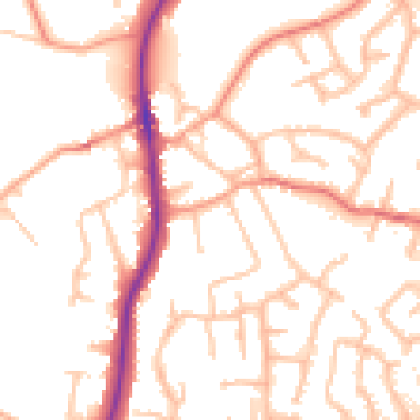
Daytime· 07:00 – 23:00
53.3dB

Night-time· 23:00 – 07:00
45.0dB