Corinda, St Michaels Road, Penkridge, Stafford, ST19 5AH
About Corinda
Corinda is a detached house in Penkridge, Stafford, Stafford (ST19 5AH). It has a recorded floor area of 80 m² (around 861 sq ft), construction records dating it to 1967-1975 and council tax band D. The latest certificate (July 2023) shows a D (score 64), on the cusp of jumping into the C band. The recommended improvements would push it to C (score 80).
At 80 m² it sits well below the postcode median (159 m² across 7 EPCs), making it one of the more compact homes locally. One planning record on file: an extension approved in 2024. Past consents include an extension, meaningful when judging how the property has evolved. Across 1996–2024, sale prices on this property compounded at 6.7% per year. On a £-per-square-foot basis, the last sale (£465/sq ft) was about 87.2% above the typical sold price in the postcode. Most recent transfer: February 2024 at £400,000.
Know exactly what you're buying at Corinda
Before you offer, see what the listing won't tell you, the true value, the red flags and the full history.
Already flagged here
Valuation
against the asking price
Risks
planning & flood
Sold prices
similar homes nearby
Trends
the local market
Energy performance
EPC Rating
Planning history
Corinda has an approved single-storey side and rear extension on the planning record.
- Nov 2024ExtensionFullIn report
Extension: Single storey · Side and rear of property
Single storey rear and side extension
- Documents
- 13 docs on file
- Reference
- 24/00404/FULHH
We flagged 1 thing worth checking at Corinda
Independent checks surfaced things a buyer would want to understand before offering. The report explains each one in full, with the underlying data and what to ask.
- Larger development activity nearby
30-day money-back guarantee
Sales history & valuation
Price for Corinda has grown more than fourfold since the 1996 starting point.
£402,000
Modelled from EPC, postcode comparables and a sale-price growth of 6.7% per year over 27 years.
£400,000
Growth on file: 6.7% per year over 27 years.
Sales timeline
8 February 2024Most recent
£400,000
+479.7%over 27 years19 December 1996
£69,000
Median price across the last 5 sales in ST19 5AH: £457,000 (2024–2013).
Nearby sales in ST19 5AH
Campanula, St Michaels Road, Penkridge, Stafford, ST19 5AH
Sold Aug 2024
£457,000The Laurels, St Michaels Road, Penkridge, Stafford, ST19 5AH
Sold Mar 2021
£500,000The Lowlands, St Michaels Road, Penkridge, Stafford, ST19 5AH
Sold Jan 2019
£370,000Cornercroft, St Michaels Road, Penkridge, Stafford, ST19 5AH
Sold Sept 2017
£730,000Phoenix House, St Michaels Road, Penkridge, Stafford, ST19 5AH
Sold Sept 2013
£330,000
Everything we know about Corinda, in one report
What it's really worth, what could be wrong, and the planning, sales and area data in full.
What we flagged
- Larger development activity nearby

Versus other St Michaels Road homes
Corinda outperforms the street on price per m² by a wide margin.
Price per m²
£5,000
Street avg £2,850
Floor Area
80 m²
Street avg 180 m²
Habitable Rooms
3 rooms
Street avg 7 rooms
CO₂ Emissions
3.7 t/year
Street avg 9.7 t/year
Similar properties nearby
1 Bedingstone Drive, Penkridge
ST19 5TE
1 Boyden Close, Penkridge
ST19 5TG
1 Cheadle Close, Penkridge
ST19 5SZ
1 Canalside Close, Penkridge
ST19 5TX
1 Chelford Close, Penkridge
ST19 5EJ
1 Beverley Close, Penkridge
ST19 5SS
1 Broc Close, Penkridge
ST19 5EY
1 Boscomoor Lane, Penkridge
ST19 5NU
The neighbourhood at a glance
Rail-style transport is unusually close for this postcode.
Crime
3/mo
Steady year-on-year across the wider district.
Nearest stop
0.1 km
Penkridge Rail Station — railway station.
Closest school
0.5 km
St Michael's CofE (A) First School. 7 schools nearby.
Go deeper on the local area
The full report breaks down crime, transport links, schools and air quality in depth.
Road noise across the postcode
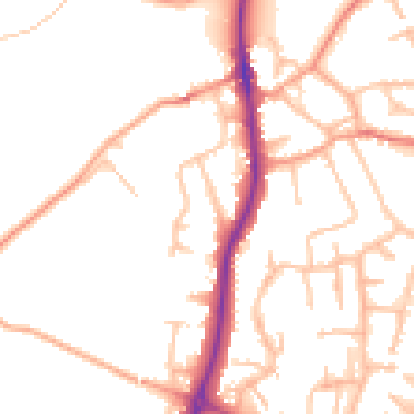
Daytime· 07:00 – 23:00
51.7dB
Night-time· 23:00 – 07:00
43.2dB