13 Mayfield Avenue, Penkridge, Stafford, ST19 5AG
About 13 Mayfield Avenue
13 Mayfield Avenue is a three-bedroom semi-detached house in Penkridge, Stafford, Stafford (ST19 5AG). It has a recorded floor area of 81 m² (around 872 sq ft), construction records dating it to 1950-1966 and council tax band C. The latest certificate (June 2024) shows an E (score 50), well below the UK norm with real room to improve. The recommended improvements would lift it to B (score 83), a 3-band jump. Our model identifies extension potential, subject to local planning policy. The home occupies a cul-de-sac position.
On energy efficiency it sits in the bottom 10% of properties in this postcode — significant headroom for improvement. Today's modelled estimate of £264,000 is 30.4% above the 2024 sale price. On a £-per-square-foot basis, the last sale (£232/sq ft) was about 25% above the typical sold price in the postcode. Sold September 2024 for £202,500.
Know exactly what you're buying at 13 Mayfield Avenue
Before you offer, see what the listing won't tell you, the true value, the red flags and the full history.
Already flagged here
Valuation
against the asking price
Risks
planning & flood
Sold prices
similar homes nearby
Trends
the local market
What this property has
Inside
- Bedrooms3
- Bathrooms1
- Dining roomYes
- CloakroomYes
Outside
- GarageIntegral
- Cul-de-sacYes
Building
- Extension potentialPossible
Energy performance
13 Mayfield Avenue sits at the bottom of the postcode for energy efficiency — meaningful headroom to improve.
EPC Rating
Planning history
13 Mayfield Avenue has no planning applications on record.
Notable planning nearby
1applications of note in the surrounding area
We flagged 1 thing worth checking at 13 Mayfield Avenue
Independent checks surfaced things a buyer would want to understand before offering. The report explains each one in full, with the underlying data and what to ask.
- Larger development activity nearby
30-day money-back guarantee
Sales history & valuation
13 Mayfield Avenue valuation sits well clear of the typical sold price in this postcode.
£264,000
Modelled from EPC, postcode comparables.
£202,500
Recorded with HM Land Registry.
Sales timeline
26 September 2024Most recent
£202,500
Median price across the last 5 sales in ST19 5AG: £281,500 (2025–2019).
Nearby sales in ST19 5AG
14 Mayfield Avenue, Penkridge, Stafford, ST19 5AG
Sold Sept 2025
£287,50015 Mayfield Avenue, Penkridge, Stafford, ST19 5AG
Sold Aug 2025
£322,0003 Mayfield Avenue, Penkridge, Stafford, ST19 5AG
Sold Jul 2023
£281,50018 Mayfield Avenue, Penkridge, Stafford, ST19 5AG
Sold Jan 2021
£240,0005 Mayfield Avenue, Penkridge, Stafford, ST19 5AG
Sold Jun 2019
£195,500
Everything we know about 13 Mayfield Avenue, in one report
What it's really worth, what could be wrong, and the planning, sales and area data in full.
What we flagged
- Larger development activity nearby

Versus other Mayfield Avenue homes
On epc rating, 13 Mayfield Avenue runs well behind the street norm.
Price per m²
£2,500
Street avg £2,338
Floor Area
81 m²
Street avg 95 m²
Habitable Rooms
5 rooms
Street avg 5 rooms
CO₂ Emissions
5.6 t/year
Street avg 3.8 t/year
Similar properties nearby
1 Bellbrook, Penkridge
ST19 5DL
1 Bungham Lane, Penkridge
ST19 5NH
1 Broc Close, Penkridge
ST19 5EY
1 Chelford Close, Penkridge
ST19 5EJ
1 Birch Court, Penkridge
ST19 5FT
1 Ash Close, Penkridge
ST19 5FP
1 Boscomoor Lane, Penkridge
ST19 5NU
1 Beaconhill Cottages, Congreve, Penkridge
ST19 5QG
The neighbourhood at a glance
Rail-style transport is unusually close for this postcode.
Crime
3/mo
Steady year-on-year across the wider district.
Nearest stop
0.1 km
Mayfield Avenue — bus stop.
Closest school
0.7 km
St Michael's CofE (A) First School. 7 schools nearby.
Go deeper on the local area
The full report breaks down crime, transport links, schools and air quality in depth.
Road noise across the postcode
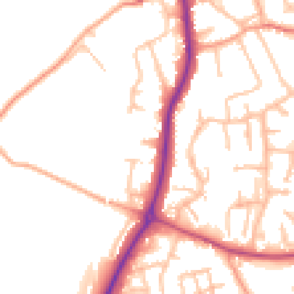
Daytime· 07:00 – 23:00
52.2dB

Night-time· 23:00 – 07:00
44.0dB