11b, Flat 2, High Street, Cheadle, Stoke On Trent, ST10 1AA
About 11b
11b is a detached house in Cheadle, Stoke-On-Trent, Stoke On Trent (ST10 1AA). It has a recorded floor area of 43 m² (around 463 sq ft) and construction records dating it to 1950-1966. The latest certificate (March 2018) shows a C (score 71). When first surveyed in January 2018 the rating was E, the property has climbed 2 bands since. Between certificates, wall efficiency went from Average to Very Good and window efficiency went from Good to Very Good. Main heating runs on electricity: electricity, unspecified tariff.
Know exactly what you're buying at 11b
Before you offer, see what the listing won't tell you, the true value, the red flags and the full history.
Already flagged here
Valuation
against the asking price
Risks
planning & flood
Sold prices
similar homes nearby
Trends
the local market
Energy performance
EPC Rating
Property Improvements
Changes detected from historical EPC data
Window efficiency improved
Wall insulation improved
Planning history
11b has no planning applications on record.
Notable planning nearby
5applications of note in the surrounding area
We flagged 1 thing worth checking at 11b
Independent checks surfaced things a buyer would want to understand before offering. The report explains each one in full, with the underlying data and what to ask.
- Larger development activity nearby
30-day money-back guarantee
Sales history & valuation
11b has no Land Registry sales on file, suggesting it has stayed in the same hands since registration began.
£142,000
Modelled from EPC, postcode comparables.
No sales recorded with HM Land Registry
That can mean the property has never traded since the registry began publishing in 1995, was a new build that hasn't been registered yet, or is held in the same hands long-term.
Median price across the last 5 sales in ST10 1AA: £72,000 (2024–2018).
Nearby sales in ST10 1AA
Everything we know about 11b, in one report
What it's really worth, what could be wrong, and the planning, sales and area data in full.
What we flagged
- Larger development activity nearby

Versus other High Street homes
On co₂ emissions, 11b stands well clear of the street.
EPC Rating
71 (C)
Street avg 66 (D)
Floor Area
43 m²
Street avg 49 m²
CO₂ Emissions
1.8 t/year
Street avg 3.1 t/year
Similar properties nearby
71 73, Flat 2, High Street, Cheadle
ST10 1AN
82 84, Flat 3, High Street, Cheadle
ST10 1AJ
4 6, Flat 1, High Street, Cheadle
ST10 1AF
4 6, Flat 3, High Street, Cheadle
ST10 1AF
11a, Flat, High Street, Cheadle
ST10 1AA
11b, Flat 1, High Street, Cheadle
ST10 1AA
71 73, Flat 4, High Street, Cheadle
ST10 1AN
82 84, Flat 1, High Street, Cheadle
ST10 1AJ
The neighbourhood at a glance
Crime
2/mo
Steady year-on-year across the wider district.
Nearest stop
0.1 km
Greyhound Walk — bus stop.
Closest school
0.3 km
St Giles' Catholic Primary School. 5 schools nearby.
Go deeper on the local area
The full report breaks down crime, transport links, schools and air quality in depth.
Road noise across the postcode
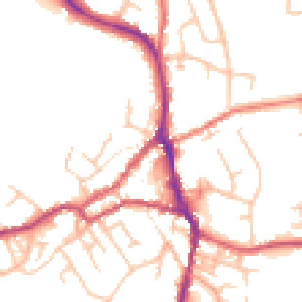
Daytime· 07:00 – 23:00
50.0dB

Night-time· 23:00 – 07:00
41.3dB