16 Lyndale Avenue, Southend On Sea, SS2 4BZ
About 16 Lyndale Avenue
16 Lyndale Avenue is a three-bedroom semi-detached house in Southend On Sea (SS2 4BZ). It has a recorded floor area of 95 m² (around 1023 sq ft), construction records dating it to 1930-1949 and council tax band C. The latest certificate (February 2025) shows a C (score 71). The recommended improvements would push it to B (score 87).
At 95 m² the property is well over the postcode median (71 m² across 20 EPCs), placing it in the larger end of the local stock. On energy efficiency it sits in the top 10% of properties in this postcode. It changed hands recently, sold August 2025 for £450,000. 2 planning records sit against the property, 1 approved, 0 refused. Past consents include an extension, meaningful when judging how the property has evolved. Across 2005–2025, sale prices on this property compounded at 5.7% per year. On a £-per-square-foot basis, the last sale (£440/sq ft) was about 83.3% above the typical sold price in the postcode.
Know exactly what you're buying at 16 Lyndale Avenue
Before you offer, see what the listing won't tell you, the true value, the red flags and the full history.
Already flagged here
Valuation
against the asking price
Risks
planning & flood
Sold prices
similar homes nearby
Trends
the local market
What this property has
Inside
- Bedrooms3
- Bathrooms2
- Dining roomYes
- CloakroomYes
- EnsuiteYes
- FireplaceYes
Outside
- Private gardenYes
- ParkingOff street
- Summer houseYes
Building
- Heating systemGas
- RefurbishedYes
Energy performance
16 Lyndale Avenue ranks among the most efficient homes in the postcode for energy use.
EPC Rating
Planning history
- Apr 2023ExtensionFullIn report
Extension: Rear of property
Erect single storey rear extension and alter elevations, erect two detached outbuildings to rear, layout hardstanding to front and form vehicle crossover onto Lyndale Avenue (part-retrospective)
- Agent
- EAAS
Retrospective- Documents
- 29 docs on file
- Reference
- 23/00074/FULH
- Apr 2021ExtensionIn report
Extension: Single storey · Rear of property
Erect single storey rear extension, projecting 5m beyond the existing rear wall of the dwelling, 2.65m high to eaves and with a maximum height of 3.99m
- Agent
- EAAS
- Documents
- 13 docs on file
- Reference
- 21/00681/GPDE
We flagged 1 thing worth checking at 16 Lyndale Avenue
Independent checks surfaced things a buyer would want to understand before offering. The report explains each one in full, with the underlying data and what to ask.
- Signs of HMO activity in the area
30-day money-back guarantee
Sales history & valuation
Latest sale on 16 Lyndale Avenue was the highest on Land Registry record across the postcode.
£465,000
Modelled from EPC, postcode comparables and a sale-price growth of 5.7% per year over 20 years.
£450,000
Growth on file: 5.7% per year over 20 years.
Sales timeline
20 August 2025Most recent
£450,000
+57.9%over 4 years16 February 2021
£285,000
+90.0%over 15 years30 August 2005
£150,000
Median price across the last 5 sales in SS2 4BZ: £310,000 (2025–2022).
Nearby sales in SS2 4BZ
28 Lyndale Avenue, Southend On Sea, SS2 4BZ
Sold Oct 2025
£263,00054 Lyndale Avenue, Southend On Sea, SS2 4BZ
Sold Mar 2025
£373,00046 Lyndale Avenue, Southend On Sea, SS2 4BZ
Sold Feb 2024
£297,5008 Lyndale Avenue, Southend On Sea, SS2 4BZ
Sold Aug 2023
£310,00038 Lyndale Avenue, Southend On Sea, SS2 4BZ
Sold Nov 2022
£440,000
Everything we know about 16 Lyndale Avenue, in one report
What it's really worth, what could be wrong, and the planning, sales and area data in full.
What we flagged
- Signs of HMO activity in the area

Versus other Lyndale Avenue homes
On epc rating, 16 Lyndale Avenue stands well clear of the street.
Price per m²
£4,737
Street avg £3,290
Floor Area
95 m²
Street avg 75 m²
Habitable Rooms
4 rooms
Street avg 4 rooms
CO₂ Emissions
3.0 t/year
Street avg 4.3 t/year
Similar properties nearby
1 Grovelands, Seaforth Grove
SS2 4DU
1 Ilfracombe Road
SS2 4PA
1 Church View Close
SS2 4AR
1 Glenmore Street
SS2 4NG
1 Lewes Road
SS2 4BB
1 Beaufort Street
SS2 4NQ
1 Ferndale Road
SS2 4DS
1 Bellevue Mews
SS2 4PE
The neighbourhood at a glance
Reported crime in the wider district is trending notably upward year-on-year.
Crime
14/mo
Rising year-on-year across the wider district.
Nearest stop
0.2 km
Royston Avenue — bus stop.
Closest school
0.4 km
Bournemouth Park Academy. 21 schools nearby.
Go deeper on the local area
The full report breaks down crime, transport links, schools and air quality in depth.
Road noise across the postcode
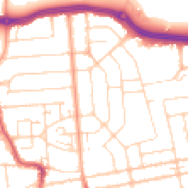
Daytime· 07:00 – 23:00
51.5dB

Night-time· 23:00 – 07:00
41.1dB