1 St Lukes Road, Southend On Sea, SS2 4AA
About 1 St Lukes Road
1 St Lukes Road is a three-bedroom semi-detached house in Southend On Sea (SS2 4AA). It has a recorded floor area of 96 m² (around 1033 sq ft), construction records dating it to 1930-1949 and council tax band C. The latest certificate (March 2023) shows a D (score 67), on the cusp of jumping into the C band. The rating has held steady at D across 2 certificates since July 2009. Between certificates, roof efficiency went from Average to Good, window efficiency went from Average to Good and lighting went from Average to Very Good; while hot-water efficiency dropped from Very Good to Good and main heating dropped from Very Good to Good. The recommended improvements would lift it to B (score 85), a 2-band jump. The home occupies a cul-de-sac position.
At 96 m² it's 20.8% larger than the typical home in the postcode (80 m² median across 16 EPCs). Across 2010–2023, sale prices on this property compounded at 7.4% per year. On a £-per-square-foot basis, the last sale (£373/sq ft) was about 101.8% above the typical sold price in the postcode. One planning record on file: subdivision refused in 2010. Sold August 2023 for £385,000.
Know exactly what you're buying at 1 St Lukes Road
Before you offer, see what the listing won't tell you, the true value, the red flags and the full history.
Already flagged here
Valuation
against the asking price
Risks
planning & flood
Sold prices
similar homes nearby
Trends
the local market
What this property has
Inside
- Bedrooms3
- Bathrooms1
- Dining roomYes
- CloakroomYes
Outside
- Private gardenYes
- DrivewayYes
- Cul-de-sacYes
Building
- RefurbishedYes
Energy performance
Recommended upgrades on file would lift this property by multiple EPC bands.
EPC Rating
Property Improvements
Changes detected from historical EPC data
Heating controls upgraded for better temperature management
Hot water efficiency decreased
Windows upgraded, improving insulation
Roof insulation improved
More low energy lighting installed
Planning history
Council records show a subdivision application — the property's legal arrangement has been altered.
- Mar 2010SubdivisionFullIn report
Convert existing dwelling into 2 self contained flats and alterations to rear elevation
- Documents
- 4 docs on file
- Reference
- 10/00126/FUL
We flagged 1 thing worth checking at 1 St Lukes Road
Independent checks surfaced things a buyer would want to understand before offering. The report explains each one in full, with the underlying data and what to ask.
- Signs of HMO activity in the area
30-day money-back guarantee
Sales history & valuation
Latest sale on 1 St Lukes Road was the highest on Land Registry record across the postcode.
£400,000
Modelled from EPC, postcode comparables and a sale-price growth of 7.4% per year over 14 years.
£385,000
Growth on file: 7.4% per year over 14 years.
Sales timeline
10 August 2023Most recent
£385,000
+79.1%over 9 years13 March 2014
£214,995
+46.3%over 4 years18 January 2010
£147,000
Median price across the last 5 sales in SS2 4AA: £265,000 (2025–2022).
Nearby sales in SS2 4AA
7 St Lukes Road, Southend On Sea, SS2 4AA
Sold Mar 2025
£340,00035 St Lukes Road, Southend On Sea, SS2 4AA
Sold Sept 2024
£325,00027 St Lukes Road, Southend On Sea, SS2 4AA
Sold Dec 2023
£265,00013 St Lukes Road, Southend On Sea, SS2 4AA
Sold Sept 2021
£240,00049 St Lukes Road, Southend On Sea, SS2 4AA
Sold Nov 2020
£260,000
Everything we know about 1 St Lukes Road, in one report
What it's really worth, what could be wrong, and the planning, sales and area data in full.
What we flagged
- Signs of HMO activity in the area

Versus other St Lukes Road homes
1 St Lukes Road outperforms the street on floor area by a wide margin.
Price per m²
£4,010
Street avg £2,659
Floor Area
96 m²
Street avg 82 m²
Habitable Rooms
6 rooms
Street avg 5 rooms
CO₂ Emissions
3.6 t/year
Street avg 4.3 t/year
Similar properties nearby
1 Grovelands, Seaforth Grove
SS2 4DU
1 Ilfracombe Road
SS2 4PA
1 Church View Close
SS2 4AR
1 Glenmore Street
SS2 4NG
1 Lewes Road
SS2 4BB
1 Beaufort Street
SS2 4NQ
1 Ferndale Road
SS2 4DS
1 Bellevue Mews
SS2 4PE
The neighbourhood at a glance
Reported crime in the wider district is trending notably upward year-on-year.
Crime
14/mo
Rising year-on-year across the wider district.
Nearest stop
0.2 km
Tennyson Avenue — bus stop.
Closest school
0.2 km
Bournemouth Park Academy. 21 schools nearby.
Go deeper on the local area
The full report breaks down crime, transport links, schools and air quality in depth.
Road noise across the postcode
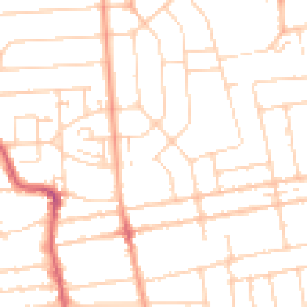
Daytime· 07:00 – 23:00
49.2dB

Night-time· 23:00 – 07:00
38.5dB