54 Zetland Square, Sunderland, SR6 0EF
About 54 Zetland Square
54 Zetland Square is a mid-terrace house in Sunderland (SR6 0EF). It has a recorded floor area of 57 m² (around 614 sq ft), construction records dating it to 1950-1966 and council tax band A. The latest certificate (September 2019) shows a D (score 68), on the cusp of jumping into the C band. Earlier certificates rated it C (May 2017); the latest reading is one band lower. Between certificates, lighting dropped from Very Good to Very Poor. The recommended improvements would push it to C (score 74). At 57 m² this is the 28th smallest of 52 units on EPC record in the building, where floor areas span 47–63 m². The building's EPC ratings span E to B across 52 units on file.
At 57 m² it's 18.8% larger than the typical home in the postcode (48 m² median across 51 EPCs).
Know exactly what you're buying at 54 Zetland Square
Before you offer, see what the listing won't tell you, the true value, the red flags and the full history.
Valuation
against the asking price
Risks
planning & flood
Sold prices
similar homes nearby
Trends
the local market
Energy performance
EPC Rating
Planning history
54 Zetland Square has no planning applications on record.
Notable planning nearby
2applications of note in the surrounding area
Sales history & valuation
54 Zetland Square has no Land Registry sales on file, suggesting it has stayed in the same hands since registration began.
£119,000
Modelled from EPC, postcode comparables.
No sales recorded with HM Land Registry
That can mean the property has never traded since the registry began publishing in 1995, was a new build that hasn't been registered yet, or is held in the same hands long-term.
Everything we know about 54 Zetland Square, in one report
What it's really worth, what could be wrong, and the planning, sales and area data in full.
- Am I paying too much?
- Is something wrong with it?
- Is the agent's story true?
- Will it hold its value?

Versus other Zetland Square homes
54 Zetland Square is notably below the street on co₂ emissions.
EPC Rating
68 (D)
Street avg 69 (D)
Floor Area
57 m²
Street avg 53 m²
CO₂ Emissions
2.4 t/year
Street avg 2.0 t/year
Habitable Rooms
3 rooms
Street avg 3 rooms
Similar properties nearby
1 Gladstone Street
SR6 0HY
1 Chillingham House, Mulgrave Drive
SR6 0QH
1 Belle Court, Dundas Street
SR6 0AZ
1 Cooper Street
SR6 0NF
1 Forster Street
SR6 0JU
1 Featherstone Street
SR6 0PE
1 Bonners Raff, Chandlers Road
SR6 0AD
1 Coniscliffe Place
SR6 0HN
The neighbourhood at a glance
Crime
4/mo
Steady year-on-year across the wider district.
Nearest stop
0.1 km
St Peters National Glass Centre — bus stop.
Closest school
0.1 km
Dame Dorothy Primary School. 23 schools nearby.
Go deeper on the local area
The full report breaks down crime, transport links, schools and air quality in depth.
Road noise across the postcode
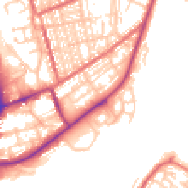
Daytime· 07:00 – 23:00
53.8dB

Night-time· 23:00 – 07:00
43.4dB