Flat 1, 1 Roker Avenue, Sunderland, SR6 0BY
About Flat 1
Flat 1 is an end-of-terrace house in Sunderland (SR6 0BY). It has a recorded floor area of 36 m² (around 384 sq ft), construction records dating it to 1900-1929 and council tax band A. At 36 m² this is the largest unit on EPC record across the building (31–36 m²). The building's EPC ratings span C to B, with this unit at the bottom. The latest certificate (March 2011) shows a C (score 77), near the top of the C band. The latest certificate is from March 2011, so improvements made since then won't be reflected.
At 36 m² it's 26.4% smaller than the typical home in the postcode (49 m² median across 10 EPCs).
Know exactly what you're buying at Flat 1
Before you offer, see what the listing won't tell you, the true value, the red flags and the full history.
Valuation
against the asking price
Risks
planning & flood
Sold prices
similar homes nearby
Trends
the local market
Energy performance
Flat 1's carbon output is low for the local stock.
EPC Expired
This certificate is over 10 years old and is no longer valid.Expired 09 Mar 2021
EPC Rating
Planning history
Flat 1 has no planning applications on record.
Notable planning nearby
2applications of note in the surrounding area
Sales history & valuation
Flat 1 has no Land Registry sales on file, suggesting it has stayed in the same hands since registration began.
£132,000
Modelled from EPC, postcode comparables.
No sales recorded with HM Land Registry
That can mean the property has never traded since the registry began publishing in 1995, was a new build that hasn't been registered yet, or is held in the same hands long-term.
Median price across the last 5 sales in SR6 0BY: £80,000 (2013–2001).
Everything we know about Flat 1, in one report
What it's really worth, what could be wrong, and the planning, sales and area data in full.
- Am I paying too much?
- Is something wrong with it?
- Is the agent's story true?
- Will it hold its value?

Versus other Roker Avenue homes
EPC Rating for Flat 1 runs comfortably ahead of the street norm.
EPC Rating
77 (C)
Street avg 70 (C)
Floor Area
36 m²
Street avg 56 m²
CO₂ Emissions
1.5 t/year
Street avg 2.5 t/year
Habitable Rooms
2 rooms
Street avg 3 rooms
Similar properties nearby
Flat 1, 42 Roker Avenue
SR6 0HX
First Floor Flat, 3 Roker Avenue
SR6 0BY
Flat 1, 130 Roker Avenue
SR6 0HL
First Floor Flat 2, 126 Roker Avenue
SR6 0HL
Flat 1, 42 Whickham Street
SR6 0EB
Flat 1, 1 Bede Street
SR6 0NS
First Floor Flat, 169 Brandling Street
SR6 0LN
Flat 1, 176 Roker Avenue
SR6 0HQ
The neighbourhood at a glance
Rail-style transport is unusually close for this postcode.
Crime
4/mo
Steady year-on-year across the wider district.
Nearest stop
0.0 km
Wheatsheaf Roker Avenue — bus stop.
Closest school
0.4 km
Dame Dorothy Primary School. 24 schools nearby.
Go deeper on the local area
The full report breaks down crime, transport links, schools and air quality in depth.
Road noise across the postcode
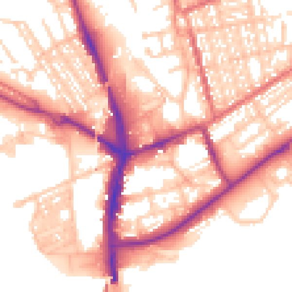
Daytime· 07:00 – 23:00
56.6dB

Night-time· 23:00 – 07:00
46.1dB