21 22, Flat 5, Blandford Street, Sunderland, SR1 3JP
About 21 22
21 22 is an end-of-terrace house in Sunderland (SR1 3JP). It has a recorded floor area of 61 m² (around 657 sq ft) and construction records dating it to 2022. The latest certificate (July 2023) shows a D (score 56), a step below the typical UK home. Main heating runs on electricity: electricity, unspecified tariff.
At 61 m² it's 19.6% larger than the typical home in the postcode (51 m² median across 3 EPCs).
Everything you need to know about 21 22
The true value, the hidden risks and the full sale history, in one report.
30-day money-back guarantee

The data behind every report


Energy performance
EPC Rating
Planning history
21 22 has no planning applications on record.
Notable planning nearby
5applications of note in the surrounding area
We flagged 1 thing worth checking at 21 22
Independent checks surfaced things a buyer would want to understand before offering. The report explains each one in full, with the underlying data and what to ask.
- Signs of HMO activity in the area
30-day money-back guarantee
Sales history & valuation
21 22 has no Land Registry sales on file, suggesting it has stayed in the same hands since registration began.
£141,000
Modelled from EPC, postcode comparables.
No sales recorded with HM Land Registry
That can mean the property has never traded since the registry began publishing in 1995, was a new build that hasn't been registered yet, or is held in the same hands long-term.
Median price across the last 5 sales in SR1 3JP: £150,000 (2024–1998).
Versus other Blandford Street homes
EPC Rating
56 (D)
Street avg 55 (D)
Floor Area
61 m²
Street avg 56 m²
CO₂ Emissions
2.7 t/year
Street avg 2.7 t/year
Everything you need to know about 21 22
The true value, the hidden risks and the full sale history, in one report.
30-day money-back guarantee
The data behind every report
Similar properties nearby
27b, Upper Flat, Westbourne Road
SR1 3SQ
27b, Lower Flat, Westbourne Road
SR1 3SQ
Flat, 95 High Street West
SR1 3BY
Phoenix House, Flat 12, Union Street
SR1 3BT
Phoenix House, Flat 1, Union Street
SR1 3BT
Flat 3, 13 Holmeside
SR1 3JE
Flat 4, 13 Holmeside
SR1 3JE
Phoenix House, Flat 11, Union Street
SR1 3BT
The neighbourhood at a glance
Rail-style transport is unusually close for this postcode.
Crime
10/mo
Rising year-on-year across the wider district.
Nearest stop
0.1 km
Sunderland Rail Station — railway station.
Closest school
0.6 km
Hudson Road Primary School. 27 schools nearby.
Go deeper on the local area
The full report breaks down crime, transport links, schools and air quality in depth.
Road noise across the postcode
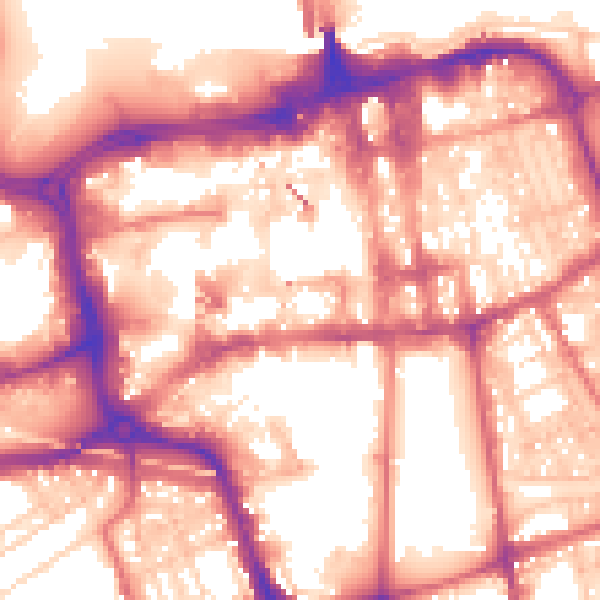
Daytime· 07:00 – 23:00
58.7dB

Night-time· 23:00 – 07:00
48.5dB