20 Bodlewell House, High Street East, Sunderland, SR1 2AS
About 20 Bodlewell House
20 Bodlewell House is a two-bedroom end-of-terrace house in Sunderland (SR1 2AS). It has a recorded floor area of 51 m² (around 549 sq ft), construction records dating it to 1950-1966 and council tax band A. At 51 m² this is the 4th smallest of 19 units on EPC record in the building, where floor areas span 45–78 m². The building's EPC ratings span D to C, with this unit at the bottom. On EPC score it ranks last in the building (58 versus a best of 77). The latest certificate (November 2018) shows a D (score 58), a step below the typical UK home. The recommended improvements would push it to C (score 75).
Today's modelled estimate of £107,000 sits 100% above the 2016 sale of £53,495. On a £-per-square-foot basis, the last sale (£97/sq ft) was about 42.8% above the typical sold price in the postcode. Last sold in July 2016, so it's been off the market for around 10 years. At 51 m² it's 19% smaller than the typical home in the postcode (63 m² median across 24 EPCs).
What this property has
Inside
- Bedrooms2
- Bathrooms1
- Open-plan layoutYes
Building
- RefurbishedYes
Everything you need to know about 20 Bodlewell House
The true value, the hidden risks and the full sale history, in one report.
30-day money-back guarantee

The data behind every report


Energy performance
EPC Rating
Planning history
20 Bodlewell House has no planning applications on record.
The full report still covers planning activity across the surrounding area.
Sales history & valuation
20 Bodlewell House valuation sits well clear of the typical sold price in this postcode.
£107,000
Modelled from EPC, postcode comparables.
£53,495
Recorded with HM Land Registry.
Sales timeline
27 July 2016Most recent
£53,495
Median price across the last 5 sales in SR1 2AS: £39,000 (2025–2025).
Nearby sales in SR1 2AS
9 Bodlewell House, High Street East, Sunderland, SR1 2AS
Sold Aug 2025
£22,2505 Bodlewell House, High Street East, Sunderland, SR1 2AS
Sold Jul 2025
£15,00014 Bodlewell House, High Street East, Sunderland, SR1 2AS
Sold Mar 2025
£39,00015 Bodlewell House, High Street East, Sunderland, SR1 2AS
Sold Mar 2025
£39,00012 Bodlewell House, High Street East, Sunderland, SR1 2AS
Sold Mar 2025
£39,000
Versus other High Street East homes
20 Bodlewell House outperforms the street on price per m² by a wide margin.
Price per m²
£1,049
Street avg £669
Floor Area
51 m²
Street avg 61 m²
Habitable Rooms
3 rooms
Street avg 4 rooms
CO₂ Emissions
3.3 t/year
Street avg 2.7 t/year
Everything you need to know about 20 Bodlewell House
The true value, the hidden risks and the full sale history, in one report.
30-day money-back guarantee
The data behind every report
Similar properties nearby
The neighbourhood at a glance
Rail-style transport is unusually close for this postcode.
Crime
10/mo
Rising year-on-year across the wider district.
Nearest stop
0.0 km
High Street East-Cork Street — bus stop.
Closest school
0.6 km
Hudson Road Primary School. 24 schools nearby.
Go deeper on the local area
The full report breaks down crime, transport links, schools and air quality in depth.
Road noise across the postcode
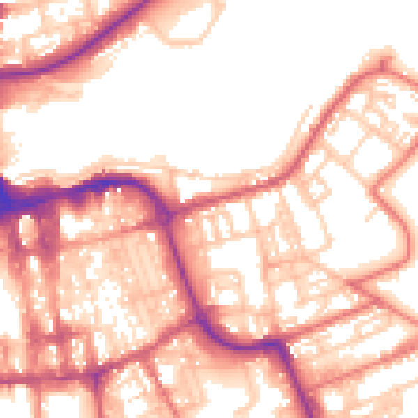
Daytime· 07:00 – 23:00
56.2dB
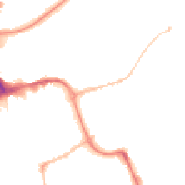
Night-time· 23:00 – 07:00
45.2dB