13 The Post Office, West Sunniside, Sunderland, SR1 1BH
About 13 The Post Office
13 The Post Office is a one-bedroom semi-detached house in Sunderland (SR1 1BH). It has a recorded floor area of 46 m² (around 495 sq ft), construction records dating it to 1900-1929 and council tax band B. Tenure is freehold. The latest certificate (August 2018) shows an E (score 50), well below the UK norm with real room to improve. When first surveyed in December 2009 the rating was F, the property has climbed 1 band since. Between certificates, wall efficiency went from Very Poor to Poor; while hot-water efficiency dropped from Poor to Very Poor. The recommended improvements would lift it to B (score 84), a 3-band jump. Main heating runs on electricity. At 46 m² this is the 2nd smallest of 31 units on EPC record in the building, where floor areas span 34–122 m². The building's EPC ratings span E to B, with this unit at the bottom.
Held since March 2006 — that's 20 years off the open market, well above the local norm. At 46 m² it sits well below the postcode median (72 m² across 30 EPCs), making it one of the more compact homes locally. It lags the bulk of the postcode on energy efficiency (less efficient than 80% of similar EPCs). Today's modelled estimate of £115,000 is 15% above the 2006 sale price. On a £-per-square-foot basis, the last sale (£202/sq ft) was about 34.9% above the typical sold price in the postcode.
What this property has
Inside
- Bedrooms1
- Bathrooms1
- Open-plan layoutYes
Building
- TenureFreehold
- RefurbishedYes
Everything you need to know about 13 The Post Office
The true value, the hidden risks and the full sale history, in one report.
30-day money-back guarantee

The data behind every report


Energy performance
Recommended upgrades on file would lift this property by multiple EPC bands.
EPC Rating
Property Improvements
Changes detected from historical EPC data
Hot water system changed
Wall insulation improved
Planning history
13 The Post Office has no planning applications on record.
Notable planning nearby
5applications of note in the surrounding area
We flagged 1 thing worth checking at 13 The Post Office
Independent checks surfaced things a buyer would want to understand before offering. The report explains each one in full, with the underlying data and what to ask.
- Larger development activity nearby
30-day money-back guarantee
Sales history & valuation
£115,000
Modelled from EPC, postcode comparables.
£99,995
Recorded with HM Land Registry.
Sales timeline
3 March 2006Most recent
£99,995
Median price across the last 5 sales in SR1 1BH: £120,000 (2025–2023).
Nearby sales in SR1 1BH
25 The Post Office, West Sunniside, Sunderland, SR1 1BH
Sold Jul 2025
£76,00024 The Post Office, West Sunniside, Sunderland, SR1 1BH
Sold Jan 2025
£58,00018 The Post Office, West Sunniside, Sunderland, SR1 1BH
Sold Jun 2024
£125,00014 The Post Office, West Sunniside, Sunderland, SR1 1BH
Sold Apr 2023
£130,0004 The Post Office, West Sunniside, Sunderland, SR1 1BH
Sold Dec 2022
£63,000
Versus other West Sunniside homes
Floor Area for 13 The Post Office lags the street by a wide margin.
Price per m²
£2,174
Street avg £1,544
Floor Area
46 m²
Street avg 80 m²
Habitable Rooms
2 rooms
Street avg 3 rooms
CO₂ Emissions
3.0 t/year
Street avg 3.4 t/year
Everything you need to know about 13 The Post Office
The true value, the hidden risks and the full sale history, in one report.
30-day money-back guarantee
The data behind every report
Similar properties nearby
11 The Post Office, West Sunniside
SR1 1BH
1 The Post Office, West Sunniside
SR1 1BH
10 The Post Office, West Sunniside
SR1 1BH
10a, Frederick Street
SR1 1NA
10 Frederick Street
SR1 1NA
11 Foyle Street
SR1 1LB
1 West Wear Street
SR1 1XD
10 Spring Garden Close
SR1 1PJ
The neighbourhood at a glance
Rail-style transport is unusually close for this postcode.
Crime
10/mo
Rising year-on-year across the wider district.
Nearest stop
0.1 km
High Street West-Frederick Road — bus stop.
Closest school
0.5 km
Hudson Road Primary School. 25 schools nearby.
Go deeper on the local area
The full report breaks down crime, transport links, schools and air quality in depth.
Road noise across the postcode
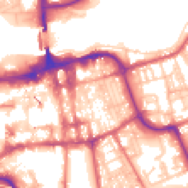
Daytime· 07:00 – 23:00
57.2dB

Night-time· 23:00 – 07:00
46.8dB