Are you a property professional?Get qualified leads from motivated homeowners.
Get started10 Burkal Drive, Andover, SP10 4NA
About 10 Burkal Drive
A plain-English summary derived from public records, EPC certificates, sold prices and local data.
10 Burkal Drive is a four-bedroom detached house in Andover (SP10 4NA). It has a recorded floor area of 145 m² (around 1558 sq ft), construction records dating it to 1996-2002 and council tax band F. The latest certificate (August 2011) shows a D (score 62), on the cusp of jumping into the C band. The latest certificate is from August 2011, so improvements made since then won't be reflected. The home occupies a cul-de-sac position.
Untraded for 18 years, with the last transfer in May 2008. That sale landed at the peak of the pre-credit-crunch market, which is a useful reference point when interpreting the price. Sale prices here have outpaced England HPI: 6.8% per year against 0% for the wider region. Today's modelled estimate of £505,000 is 46.4% above the 2008 sale price. On a £-per-square-foot basis, the last sale (£221/sq ft) was about 28.2% above the typical sold price in the postcode.
What this property has
Pulled from EPC certificates, claim submissions and our property model. Empty categories are hidden — we only show what's known.
Inside
- Bedrooms4
- Bathrooms2
- Dining roomYes
- StudyYes
Energy performance
Every EPC certificate filed against this property — current rating, recorded improvements, and where there's headroom to reach a higher band.
10 Burkal Drive's carbon output runs well above what efficient homes in the postcode produce.
EPC Expired
This certificate is over 10 years old and is no longer valid.Expired 02 Aug 2021
Sales history & valuation
Recorded transactions, our model's current estimate, and a quick read on what neighbouring properties have sold for.
The latest sale landed at the peak of the pre-credit-crunch market — a high-water reference point.
Current estimate
See how we calculated this£505,000
Modelled from EPC, postcode comparables and a sale-price growth of 6.8% per year over 9 years.
Last sold (2008)
£345,000
Growth on file: 6.8% per year over 9 years.
Sales timeline
Launch offer · 33% off
Buying 10 Burkal Drive, Andover, SP10 4NA? Know what you're getting into
Everything a buyer needs to know about this property, compiled into one in-depth report so there are no surprises after you offer.
Spot red flags before you buy
An AI-written breakdown of everything that matters
Versus other Burkal Drive homes
Four headline reads against 6 similar houses on this street, drawn from the latest EPC and Land Registry data.
10 Burkal Drive is notably below the street on epc rating.
Price per m²
£2,384
Street avg £2,994
Floor Area
145 m²
Street avg 130 m²
Habitable Rooms
8 rooms
Street avg 7 rooms
Similar properties nearby
A handful of close matches in the same postcode area, ranked by likeness on bedrooms, type and floor area.
The neighbourhood at a glance
A condensed read of the local area. Each tile links through to the full breakdown on the Andover district page.
Daytime road noise here sits well below conversation level — a quiet pocket of the postcode.
Crime
4/mo
Steady year-on-year across the wider district.
Nearest stop
0.1 km
Road noise across the postcode
Modelled day and night-time noise levels around SP10 4NA from Defra's strategic mapping. The pin marks this postcode's centroid.
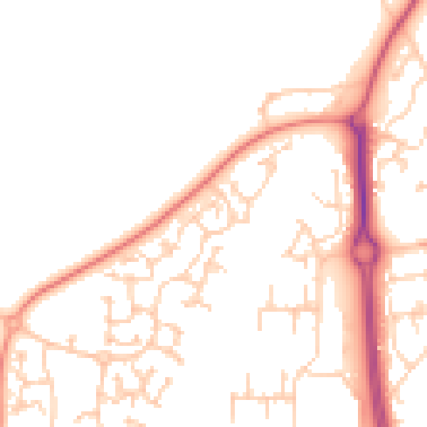
Daytime· 07:00 – 23:00
49.1dB

Everything within walking distance
Schools, transport stops and scenic spots near this property — 44 points of interest in total.
Common questions
The questions buyers, sellers and homeowners most often ask about 10 Burkal Drive, Andover, SP10 4NA. Each answer is also embedded as structured data for search engines.
