12 Field Close, Romsey, SO51 5BN
About 12 Field Close
12 Field Close is a semi-detached house in Romsey (SO51 5BN). It has a recorded floor area of 79 m² (around 850 sq ft), construction records dating it to 1967-1975 and council tax band C. The latest certificate (February 2024) shows a D (score 61), on the cusp of jumping into the C band. The recommended improvements would lift it to B (score 83), a 2-band jump.
Across 2024–2024, sale prices on this property compounded at -7% per year. On a £-per-square-foot basis, the last sale (£388/sq ft) was about 73.6% above the typical sold price in the postcode. At 79 m² it's 15.5% smaller than the typical home in the postcode (94 m² median across 14 EPCs). Sold May 2024 for £330,000.
Know exactly what you're buying at 12 Field Close
Before you offer, see what the listing won't tell you, the true value, the red flags and the full history.
Valuation
against the asking price
Risks
planning & flood
Sold prices
similar homes nearby
Trends
the local market
Energy performance
Recommended upgrades on file would lift this property by multiple EPC bands.
EPC Rating
Planning history
12 Field Close has no planning applications on record.
The full report still covers planning activity across the surrounding area.
Sales history & valuation
12 Field Close changed hands twice within eighteen months — unusual for the area.
£355,000
Modelled from EPC, postcode comparables and a sale-price growth of -7.0% per year over 1 year.
£330,000
Growth on file: -7.0% per year over 1 year.
Sales timeline
29 May 2024Most recent
£330,000
-7.0%1 March 2024
£355,000
Median price across the last 5 sales in SO51 5BN: £365,000 (2023–2021).
Everything we know about 12 Field Close, in one report
What it's really worth, what could be wrong, and the planning, sales and area data in full.
- Am I paying too much?
- Is something wrong with it?
- Is the agent's story true?
- Will it hold its value?

Versus other Field Close homes
Years Held for 12 Field Close lags the street by a wide margin.
Price per m²
£4,177
Street avg £3,401
Floor Area
79 m²
Street avg 91 m²
Habitable Rooms
4 rooms
Street avg 4 rooms
CO₂ Emissions
3.8 t/year
Street avg 3.9 t/year
Similar properties nearby
The neighbourhood at a glance
Rail-style transport is unusually close for this postcode.
Crime
3/mo
Steady year-on-year across the wider district.
Nearest stop
0.2 km
Cupernham Lane — bus stop.
Closest school
0.4 km
Romsey Primary School & Nursery. 7 schools nearby.
Go deeper on the local area
The full report breaks down crime, transport links, schools and air quality in depth.
Road noise across the postcode
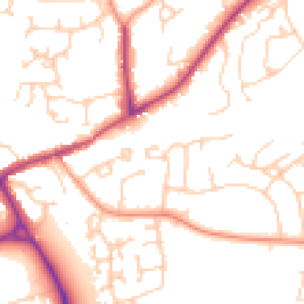
Daytime· 07:00 – 23:00
51.6dB

Night-time· 23:00 – 07:00
41.9dB