19 Mersham Gardens, Southampton, SO18 6TF
About 19 Mersham Gardens
19 Mersham Gardens is a three-bedroom detached house in Southampton (SO18 6TF). It has a recorded floor area of 81 m² (around 872 sq ft), construction records dating it to 1950-1966 and council tax band C. The latest certificate (May 2015) shows an E (score 48), well below the UK norm with real room to improve. The recommended improvements would lift it to B (score 83), a 3-band jump. The latest certificate is from May 2015, so improvements made since then won't be reflected. The home occupies a cul-de-sac position.
It lags the bulk of the postcode on energy efficiency (less efficient than 76% of similar EPCs). Across 1999–2021, sale prices on this property compounded at 6.5% per year. On a £-per-square-foot basis, the last sale (£459/sq ft) was about 78.2% above the typical sold price in the postcode. Sold August 2021 for £400,000. That sale was during the post-pandemic price surge, when transactions cleared materially above pre-2020 trend.
What this property has
Inside
- Bedrooms3
- Dining roomYes
- CloakroomYes
- EnsuiteYes
Outside
- Private gardenYes
- GarageDetached
- Cul-de-sacYes
Building
- RefurbishedYes
Everything you need to know about 19 Mersham Gardens
The true value, the hidden risks and the full sale history, in one report.
30-day money-back guarantee

The data behind every report


Energy performance
Recommended upgrades on file would lift this property by multiple EPC bands.
EPC Expired
This certificate is over 10 years old and is no longer valid.Expired 10 May 2025
EPC Rating
Planning history
19 Mersham Gardens has no planning applications on record.
Notable planning nearby
1applications of note in the surrounding area
Sales history & valuation
Price for 19 Mersham Gardens has grown more than fourfold since the 1999 starting point.
£412,000
Modelled from EPC, postcode comparables and a sale-price growth of 6.5% per year over 22 years.
£400,000
Growth on file: 6.5% per year over 22 years.
Sales timeline
19 August 2021Most recent
£400,000
+81.8%over 5 years2 December 2015
£220,000
+120.6%over 16 years13 June 1999
£99,750
Median price across the last 5 sales in SO18 6TF: £320,000 (2025–2020).
Nearby sales in SO18 6TF
17 Mersham Gardens, Southampton, SO18 6TF
Sold Feb 2025
£320,00029 Mersham Gardens, Southampton, SO18 6TF
Sold Apr 2024
£320,00027 Mersham Gardens, Southampton, SO18 6TF
Sold Sept 2021
£254,00020 Mersham Gardens, Southampton, SO18 6TF
Sold Sept 2021
£325,00014 Mersham Gardens, Southampton, SO18 6TF
Sold Dec 2020
£465,000
Versus other Mersham Gardens homes
Price per m² for 19 Mersham Gardens runs comfortably ahead of the street norm.
Price per m²
£4,938
Street avg £3,289
Floor Area
81 m²
Street avg 85 m²
Habitable Rooms
4 rooms
Street avg 4 rooms
CO₂ Emissions
5.2 t/year
Street avg 3.9 t/year
Everything you need to know about 19 Mersham Gardens
The true value, the hidden risks and the full sale history, in one report.
30-day money-back guarantee
The data behind every report
Similar properties nearby
10 Brook Road
SO18 6BA
1 Almatade Road
SO18 6AA
1 Yew Road
SO18 6AW
1 Rutland Court, Balaclava Road
SO18 6RX
10 Almatade Road
SO18 6AB
10 Chichester Road
SO18 6BD
10 Langstaff Way
SO18 6NP
10 Tenby Close
SO18 6AY
The neighbourhood at a glance
Reported crime in the wider district is trending notably upward year-on-year.
Crime
6/mo
Rising year-on-year across the wider district.
Nearest stop
0.1 km
Chichester Road — bus stop.
Closest school
0.1 km
Glenfield Infant School. 35 schools nearby.
Go deeper on the local area
The full report breaks down crime, transport links, schools and air quality in depth.
Road noise across the postcode
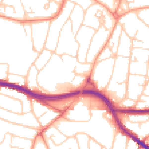
Daytime· 07:00 – 23:00
52.9dB

Night-time· 23:00 – 07:00
42.2dB