3 Lorne Place, Dean Road, Southampton, SO18 6SQ
About 3 Lorne Place
3 Lorne Place is an end-of-terrace house in Southampton (SO18 6SQ). It has a recorded floor area of 58 m² (around 624 sq ft), construction records dating it to 1983-1990 and council tax band B. The latest certificate (February 2014) shows a D (score 56), a step below the typical UK home. The recommended improvements would lift it to B (score 88), a 2-band jump. The latest certificate is from February 2014, so improvements made since then won't be reflected.
On the market in June 2014 and unlisted since — roughly 12 years. Across 1996–2014, sale prices on this property compounded at 6.7% per year. Today's modelled estimate of £220,000 is 38.8% above the 2014 sale price.
Everything you need to know about 3 Lorne Place
The true value, the hidden risks and the full sale history, in one report.
30-day money-back guarantee

The data behind every report


Energy performance
Recommended upgrades on file would lift this property by multiple EPC bands.
EPC Expired
This certificate is over 10 years old and is no longer valid.Expired 20 Feb 2024
EPC Rating
Planning history
3 Lorne Place has no planning applications on record.
Notable planning nearby
1applications of note in the surrounding area
Sales history & valuation
3 Lorne Place has more than tripled in price since its earliest registered sale in 1996.
£220,000
Modelled from EPC, postcode comparables and a sale-price growth of 6.7% per year over 18 years.
£158,500
Growth on file: 6.7% per year over 18 years.
Sales timeline
11 June 2014Most recent
£158,500
+220.2%over 17 years29 July 1996
£49,500
Median price across the last 5 sales in SO18 6SQ: £200,000 (2022–2014).
Nearby sales in SO18 6SQ
4 Lorne Place, Dean Road, Southampton, SO18 6SQ
Sold Mar 2022
£240,5002 Lorne Place, Dean Road, Southampton, SO18 6SQ
Sold Sept 2021
£241,0001 Lorne Place, Dean Road, Southampton, SO18 6SQ
Sold Aug 2019
£200,0005 Lorne Place, Dean Road, Southampton, SO18 6SQ
Sold Sept 2014
£132,0006 Lorne Place, Dean Road, Southampton, SO18 6SQ
Sold Jan 2014
£120,000
Versus other Lorne Place homes
On price per m², 3 Lorne Place runs well behind the street norm.
Price per m²
£2,733
Street avg £3,457
Floor Area
58 m²
Street avg 53 m²
Habitable Rooms
3 rooms
Street avg 3 rooms
CO₂ Emissions
3.2 t/year
Street avg 2.7 t/year
Everything you need to know about 3 Lorne Place
The true value, the hidden risks and the full sale history, in one report.
30-day money-back guarantee
The data behind every report
Similar properties nearby
The neighbourhood at a glance
Reported crime in the wider district is trending notably upward year-on-year.
Crime
6/mo
Rising year-on-year across the wider district.
Nearest stop
0.2 km
Bitterne Leisure Centre — bus stop.
Closest school
0.5 km
Glenfield Infant School. 32 schools nearby.
Go deeper on the local area
The full report breaks down crime, transport links, schools and air quality in depth.
Road noise across the postcode
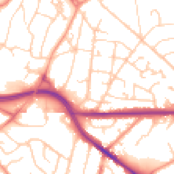
Daytime· 07:00 – 23:00
52.8dB

Night-time· 23:00 – 07:00
42.3dB