Fairview, Panwell Road, Southampton, SO18 6BJ
About Fairview
Fairview is a semi-detached house in Southampton (SO18 6BJ). It has a recorded floor area of 85 m² (around 915 sq ft), construction records dating it to 1900-1929 and council tax band C. The latest certificate (December 2019) shows a D (score 64), on the cusp of jumping into the C band. The recommended improvements would lift it to B (score 83), a 2-band jump.
Today's modelled estimate of £289,000 sits 70% above the 2019 sale of £170,000. On a £-per-square-foot basis, the last sale (£186/sq ft) was about 24.9% below the postcode norm. Last sale on file: £170,000 in December 2019.
Everything you need to know about Fairview
The true value, the hidden risks and the full sale history, in one report.
30-day money-back guarantee

The data behind every report


Energy performance
Recommended upgrades on file would lift this property by multiple EPC bands.
EPC Rating
Planning history
Fairview has no planning applications on record.
Notable planning nearby
1applications of note in the surrounding area
Sales history & valuation
Fairview valuation sits well clear of the typical sold price in this postcode.
£289,000
Modelled from EPC, postcode comparables.
£170,000
Recorded with HM Land Registry.
Sales timeline
17 December 2019Most recent
£170,000
Median price across the last 5 sales in SO18 6BJ: £327,000 (2025–2022).
Nearby sales in SO18 6BJ
20 Panwell Road, Southampton, SO18 6BJ
Sold Sept 2025
£169,000Bresden, Panwell Road, Southampton, SO18 6BJ
Sold Jan 2025
£335,00014 Panwell Road, Southampton, SO18 6BJ
Sold Jun 2024
£287,00020d, Panwell Road, Southampton, SO18 6BJ
Sold Jan 2024
£363,0005 Panwell Road, Southampton, SO18 6BJ
Sold Sept 2022
£327,000
Versus other Panwell Road homes
Price per m² for Fairview lags the street by a wide margin.
Price per m²
£2,000
Street avg £3,060
Floor Area
85 m²
Street avg 85 m²
Habitable Rooms
5 rooms
Street avg 5 rooms
CO₂ Emissions
3.4 t/year
Street avg 3.8 t/year
Everything you need to know about Fairview
The true value, the hidden risks and the full sale history, in one report.
30-day money-back guarantee
The data behind every report
Similar properties nearby
10 Langstaff Way
SO18 6NP
10 Panwell Road
SO18 6BJ
1 Mersham Gardens
SO18 6TF
10 Chichester Road
SO18 6BD
10 Almatade Road
SO18 6AB
1 Jubilee Gardens
SO18 6LX
1 Rutland Court, Balaclava Road
SO18 6RX
1 Yew Road
SO18 6AW
The neighbourhood at a glance
Reported crime in the wider district is trending notably upward year-on-year.
Crime
6/mo
Rising year-on-year across the wider district.
Nearest stop
0.1 km
Chichester Road — bus stop.
Closest school
0.3 km
Glenfield Infant School. 34 schools nearby.
Go deeper on the local area
The full report breaks down crime, transport links, schools and air quality in depth.
Road noise across the postcode
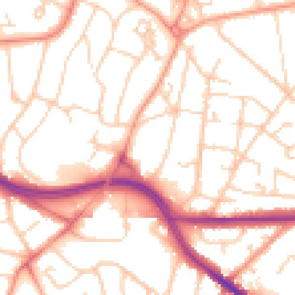
Daytime· 07:00 – 23:00
53.2dB

Night-time· 23:00 – 07:00
42.4dB