7 Cheriton Avenue, Southampton, SO18 5HJ
About 7 Cheriton Avenue
7 Cheriton Avenue is a three-bedroom end-of-terrace house in Southampton (SO18 5HJ). It has a recorded floor area of 84 m² (around 904 sq ft), construction records dating it to 1950-1966 and council tax band B. The latest certificate (June 2013) shows a C (score 70). The recommended improvements would push it to B (score 84). The latest certificate is from June 2013, so improvements made since then won't be reflected.
Across 2005–2013, sale prices on this property compounded at 1.1% per year. Today's modelled estimate of £254,000 sits 84.7% above the 2013 sale of £137,500. Last sold in September 2013, so it's been off the market for around 13 years.
What this property has
Inside
- Bedrooms3
Everything you need to know about 7 Cheriton Avenue
The true value, the hidden risks and the full sale history, in one report.
30-day money-back guarantee

The data behind every report


Energy performance
7 Cheriton Avenue's EPC is over a decade old — improvements since won't be reflected.
EPC Expired
This certificate is over 10 years old and is no longer valid.Expired 21 Jun 2023
EPC Rating
Planning history
7 Cheriton Avenue has no planning applications on record.
The full report still covers planning activity across the surrounding area.
Sales history & valuation
7 Cheriton Avenue valuation sits well clear of the typical sold price in this postcode.
£254,000
Modelled from EPC, postcode comparables and a sale-price growth of 1.1% per year over 8 years.
£137,500
Growth on file: 1.1% per year over 8 years.
Sales timeline
19 September 2013Most recent
£137,500
+10.0%over 8 years19 May 2005
£125,000
Median price across the last 5 sales in SO18 5HJ: £240,000 (2024–2020).
Nearby sales in SO18 5HJ
49 Cheriton Avenue, Southampton, SO18 5HJ
Sold Nov 2024
£345,0005 Cheriton Avenue, Southampton, SO18 5HJ
Sold Aug 2021
£240,00047 Cheriton Avenue, Southampton, SO18 5HJ
Sold Nov 2020
£265,00033 Cheriton Avenue, Southampton, SO18 5HJ
Sold Jul 2020
£210,00031 Cheriton Avenue, Southampton, SO18 5HJ
Sold Sept 2019
£245,000
Versus other Cheriton Avenue homes
Floor Area for 7 Cheriton Avenue lags the street by a wide margin.
Price per m²
£1,637
Street avg £2,019
Floor Area
84 m²
Street avg 100 m²
Habitable Rooms
5 rooms
Street avg 6 rooms
CO₂ Emissions
2.7 t/year
Street avg 3.7 t/year
Everything you need to know about 7 Cheriton Avenue
The true value, the hidden risks and the full sale history, in one report.
30-day money-back guarantee
The data behind every report
Similar properties nearby
The neighbourhood at a glance
Reported crime in the wider district is trending notably upward year-on-year.
Crime
6/mo
Rising year-on-year across the wider district.
Nearest stop
0.1 km
Faringdon Road — bus stop.
Closest school
0.1 km
Woodlands Community College. 27 schools nearby.
Go deeper on the local area
The full report breaks down crime, transport links, schools and air quality in depth.
Road noise across the postcode
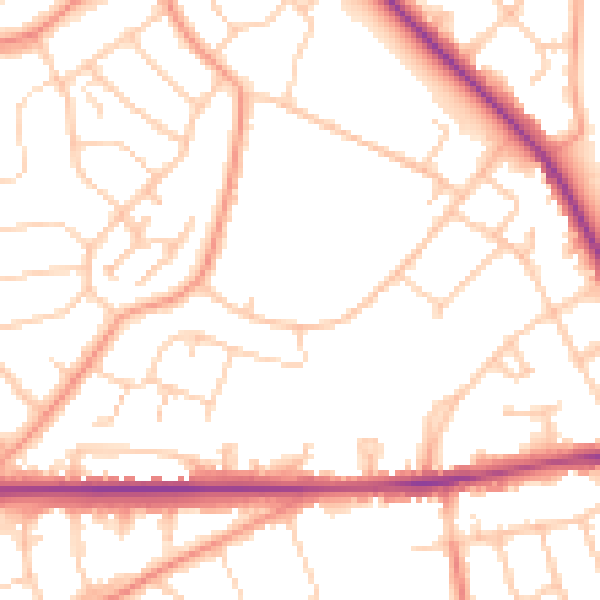
Daytime· 07:00 – 23:00
51.9dB

Night-time· 23:00 – 07:00
41.9dB