23 Cheriton Avenue, Southampton, SO18 5HJ
About 23 Cheriton Avenue
23 Cheriton Avenue is an end-of-terrace house in Southampton (SO18 5HJ). It has a recorded floor area of 86 m² (around 926 sq ft), construction records dating it to 1950-1966 and council tax band B. The latest certificate (October 2015) shows a C (score 72). The recommended improvements would push it to B (score 85). The latest certificate is from October 2015, so improvements made since then won't be reflected.
It hasn't traded since November 1998, a hold of 28 years that's notably long for the area. Only one transfer is on record with HM Land Registry, suggesting it has stayed in the same hands for a long time. Today's modelled estimate of £284,000 sits 416.4% above the 1998 sale of £55,000. On a £-per-square-foot basis, the last sale (£59/sq ft) was about 60.1% below the postcode norm.
Everything you need to know about 23 Cheriton Avenue
The true value, the hidden risks and the full sale history, in one report.
30-day money-back guarantee

The data behind every report


Energy performance
EPC Expired
This certificate is over 10 years old and is no longer valid.Expired 12 Oct 2025
EPC Rating
Planning history
23 Cheriton Avenue has no planning applications on record.
The full report still covers planning activity across the surrounding area.
Sales history & valuation
23 Cheriton Avenue's modelled value sits at over four times its earliest registered sale price (1998).
£284,000
Modelled from EPC, postcode comparables.
£55,000
Recorded with HM Land Registry.
Sales timeline
6 November 1998Most recent
£55,000
Median price across the last 5 sales in SO18 5HJ: £240,000 (2024–2020).
Nearby sales in SO18 5HJ
49 Cheriton Avenue, Southampton, SO18 5HJ
Sold Nov 2024
£345,0005 Cheriton Avenue, Southampton, SO18 5HJ
Sold Aug 2021
£240,00047 Cheriton Avenue, Southampton, SO18 5HJ
Sold Nov 2020
£265,00033 Cheriton Avenue, Southampton, SO18 5HJ
Sold Jul 2020
£210,00031 Cheriton Avenue, Southampton, SO18 5HJ
Sold Sept 2019
£245,000
Versus other Cheriton Avenue homes
On price per m², 23 Cheriton Avenue runs well behind the street norm.
Price per m²
£640
Street avg £2,074
Floor Area
86 m²
Street avg 100 m²
Habitable Rooms
5 rooms
Street avg 6 rooms
CO₂ Emissions
2.6 t/year
Street avg 3.7 t/year
Everything you need to know about 23 Cheriton Avenue
The true value, the hidden risks and the full sale history, in one report.
30-day money-back guarantee
The data behind every report
Similar properties nearby
The neighbourhood at a glance
Reported crime in the wider district is trending notably upward year-on-year.
Crime
6/mo
Rising year-on-year across the wider district.
Nearest stop
0.1 km
Faringdon Road — bus stop.
Closest school
0.1 km
Woodlands Community College. 27 schools nearby.
Go deeper on the local area
The full report breaks down crime, transport links, schools and air quality in depth.
Road noise across the postcode
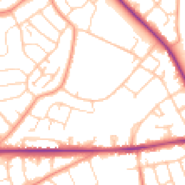
Daytime· 07:00 – 23:00
51.9dB

Night-time· 23:00 – 07:00
41.9dB