26 Holmsley Close, Southampton, SO18 5HD
About 26 Holmsley Close
26 Holmsley Close is a two-bedroom semi-detached house in Southampton (SO18 5HD). It has a recorded floor area of 61 m² (around 657 sq ft), construction records dating it to 1930-1949 and council tax band A. At 61 m² this is the 4th smallest of 26 units on EPC record in the building, where floor areas span 60–73 m². The building's EPC ratings span D to C, with this unit at the bottom. The latest certificate (March 2022) shows a D (score 68), on the cusp of jumping into the C band. The recommended improvements would push it to C (score 71).
Today's modelled estimate of £155,000 is 24% above the 2022 sale price. On a £-per-square-foot basis, the last sale (£190/sq ft) was about 20% above the typical sold price in the postcode. Sold August 2022 for £125,000. That sale was during the post-pandemic price surge, when transactions cleared materially above pre-2020 trend.
What this property has
Inside
- Bedrooms2
- Bathrooms1
Everything you need to know about 26 Holmsley Close
The true value, the hidden risks and the full sale history, in one report.
30-day money-back guarantee

The data behind every report


Energy performance
EPC Rating
Planning history
26 Holmsley Close has no planning applications on record.
The full report still covers planning activity across the surrounding area.
Sales history & valuation
The latest sale landed in the post-pandemic price surge — useful context when reading the figure.
£155,000
Modelled from EPC, postcode comparables.
£125,000
Recorded with HM Land Registry.
Sales timeline
25 August 2022Most recent
£125,000
Median price across the last 5 sales in SO18 5HD: £135,000 (2024–2017).
Nearby sales in SO18 5HD
3 Holmsley Close, Southampton, SO18 5HD
Sold Oct 2024
£150,00029 Holmsley Close, Southampton, SO18 5HD
Sold Aug 2023
£150,00023 Holmsley Close, Southampton, SO18 5HD
Sold Mar 2021
£135,0006 Holmsley Close, Southampton, SO18 5HD
Sold Oct 2020
£125,00030 Holmsley Close, Southampton, SO18 5HD
Sold Aug 2017
£130,000
Versus other Holmsley Close homes
Floor Area for 26 Holmsley Close lags the street by a wide margin.
Price per m²
£2,049
Street avg £2,064
Floor Area
61 m²
Street avg 64 m²
Habitable Rooms
3 rooms
Street avg 3 rooms
CO₂ Emissions
2.3 t/year
Street avg 2.4 t/year
Everything you need to know about 26 Holmsley Close
The true value, the hidden risks and the full sale history, in one report.
30-day money-back guarantee
The data behind every report
Similar properties nearby
The neighbourhood at a glance
Reported crime in the wider district is trending notably upward year-on-year.
Crime
6/mo
Rising year-on-year across the wider district.
Nearest stop
0.2 km
Exford Avenue — bus stop.
Closest school
0.5 km
Woodlands Community College. 29 schools nearby.
Go deeper on the local area
The full report breaks down crime, transport links, schools and air quality in depth.
Road noise across the postcode
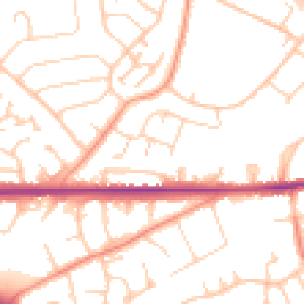
Daytime· 07:00 – 23:00
51.0dB

Night-time· 23:00 – 07:00
40.7dB