25a, Blendworth Lane, Southampton, SO18 5GY
About 25a
25a is a semi-detached house in Southampton (SO18 5GY). It has a recorded floor area of 68 m² (around 732 sq ft), construction records dating it to 1950-1966 and council tax band A. At 68 m² this is the 7th smallest of 40 units on EPC record in the building, where floor areas span 44–100 m². The building's EPC ratings span D to C, with this unit at the top. The latest certificate (July 2024) shows a C (score 69), just inside the C band. The rating has held steady at C across 2 certificates since June 2013. Between certificates, lighting went from Poor to Good; while wall efficiency dropped from Good to Average.
Today's modelled estimate of £159,000 is 18.5% below the 2022 sale of £195,000, below the original sale price, which typically signals condition or completion-status changes worth verifying. On a £-per-square-foot basis, the last sale (£266/sq ft) was about 82.7% above the typical sold price in the postcode. Last sale on file: £195,000 in November 2022. That sale was during the post-pandemic price surge, when transactions cleared materially above pre-2020 trend.
Everything you need to know about 25a
The true value, the hidden risks and the full sale history, in one report.
30-day money-back guarantee

The data behind every report


Energy performance
EPC Rating
Property Improvements
Changes detected from historical EPC data
Heating controls changed
More low energy lighting installed
Planning history
25a has no planning applications on record.
The full report still covers planning activity across the surrounding area.
Sales history & valuation
Latest sale on 25a was the highest on Land Registry record across the postcode.
£159,000
Modelled from EPC, postcode comparables.
£195,000
Recorded with HM Land Registry.
Sales timeline
4 November 2022Most recent
£195,000
Median price across the last 5 sales in SO18 5GY: £138,000 (2024–2016).
Nearby sales in SO18 5GY
11 Blendworth Lane, Southampton, SO18 5GY
Sold Feb 2024
£193,00037a, Blendworth Lane, Southampton, SO18 5GY
Sold May 2022
£167,50013 Blendworth Lane, Southampton, SO18 5GY
Sold Oct 2019
£127,50017a, Blendworth Lane, Southampton, SO18 5GY
Sold May 2016
£138,00019a, Blendworth Lane, Southampton, SO18 5GY
Sold Nov 2015
£139,950
Versus other Blendworth Lane homes
On epc rating, 25a runs well behind the street norm.
Price per m²
£2,868
Street avg £1,937
Floor Area
68 m²
Street avg 70 m²
Habitable Rooms
3 rooms
Street avg 3 rooms
CO₂ Emissions
2.2 t/year
Street avg 2.2 t/year
Everything you need to know about 25a
The true value, the hidden risks and the full sale history, in one report.
30-day money-back guarantee
The data behind every report
Similar properties nearby
The neighbourhood at a glance
Reported crime in the wider district is trending notably upward year-on-year.
Crime
6/mo
Rising year-on-year across the wider district.
Nearest stop
0.1 km
Exford Avenue — bus stop.
Closest school
0.4 km
Woodlands Community College. 29 schools nearby.
Go deeper on the local area
The full report breaks down crime, transport links, schools and air quality in depth.
Road noise across the postcode
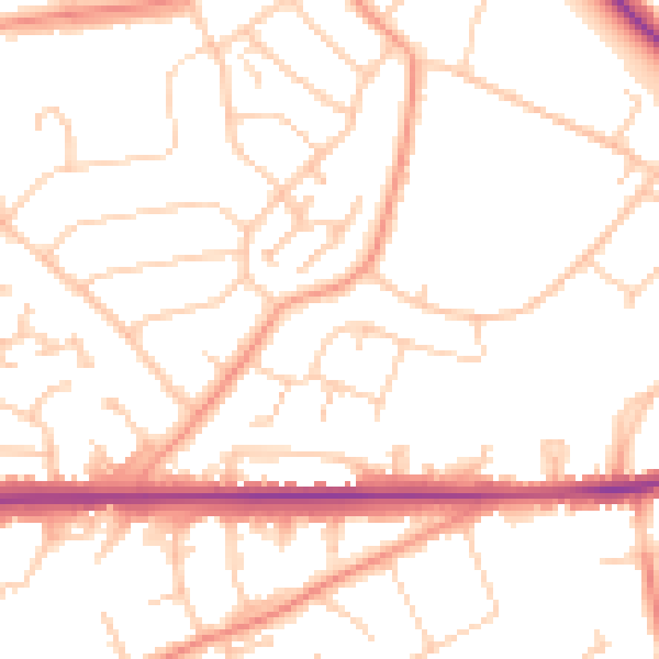
Daytime· 07:00 – 23:00
51.0dB

Night-time· 23:00 – 07:00
40.8dB