3 Rossington Avenue, Southampton, SO18 4RT
About 3 Rossington Avenue
3 Rossington Avenue is a three-bedroom semi-detached house in Southampton (SO18 4RT). It has a recorded floor area of 82 m² (around 883 sq ft), construction records dating it to 1950-1966 and council tax band B. The latest certificate (August 2014) shows an E (score 53), well below the UK norm with real room to improve. The recommended improvements would lift it to B (score 84), a 3-band jump. The latest certificate is from August 2014, so improvements made since then won't be reflected.
Across 2006–2017, sale prices on this property compounded at 3.7% per year. Today's modelled estimate of £269,000 is 28.1% above the 2017 sale price. On a £-per-square-foot basis, the last sale (£238/sq ft) was about 38.3% above the typical sold price in the postcode. Last changed hands 9 years ago, in August 2017.
What this property has
Inside
- Bedrooms3
- Bathrooms2
- Dining roomYes
- CloakroomYes
Outside
- Private gardenRear
Building
- Heating systemGas
Everything you need to know about 3 Rossington Avenue
The true value, the hidden risks and the full sale history, in one report.
30-day money-back guarantee

The data behind every report


Energy performance
Recommended upgrades on file would lift this property by multiple EPC bands.
EPC Expired
This certificate is over 10 years old and is no longer valid.Expired 04 Aug 2024
EPC Rating
Planning history
3 Rossington Avenue has no planning applications on record.
The full report still covers planning activity across the surrounding area.
Sales history & valuation
3 Rossington Avenue valuation sits well clear of the typical sold price in this postcode.
£269,000
Modelled from EPC, postcode comparables and a sale-price growth of 3.7% per year over 11 years.
£210,000
Growth on file: 3.7% per year over 11 years.
Sales timeline
24 August 2017Most recent
£210,000
+47.9%over 10 years12 October 2006
£142,000
Median price across the last 4 sales in SO18 4RT: £134,975 (2025–1997).
Everything you need to know about 3 Rossington Avenue
The true value, the hidden risks and the full sale history, in one report.
30-day money-back guarantee
The data behind every report
Similar properties nearby
1 Rossington Avenue
SO18 4RT
1 Beechwood Gardens
SO18 4JU
1 Rosyth Road
SO18 4RP
1 Tedder Road
SO18 4SH
1 Trent Road
SO18 4PR
1 Fernwood Crescent
SO18 4FF
1 Glenfield Crescent
SO18 4RG
1 Huntly Way
SO18 4EL
The neighbourhood at a glance
Reported crime in the wider district is trending notably upward year-on-year.
Crime
6/mo
Rising year-on-year across the wider district.
Nearest stop
0.2 km
Montgomery Road — bus stop.
Closest school
0.5 km
Glenfield Infant School. 31 schools nearby.
Go deeper on the local area
The full report breaks down crime, transport links, schools and air quality in depth.
Road noise across the postcode
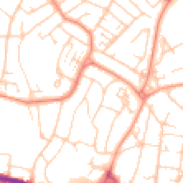
Daytime· 07:00 – 23:00
51.2dB

Night-time· 23:00 – 07:00
39.9dB