18 Rowborough Road, Southampton, SO18 4RS
About 18 Rowborough Road
18 Rowborough Road is a mid-terrace house in Southampton (SO18 4RS). It has a recorded floor area of 91 m² (around 980 sq ft), construction records dating it to 1950-1966 and council tax band B. The latest certificate (July 2015) shows a D (score 65), on the cusp of jumping into the C band. The recommended improvements would push it to C (score 80). The latest certificate is from July 2015, so improvements made since then won't be reflected.
One historical planning record sits against the property in 2004.
Everything you need to know about 18 Rowborough Road
The true value, the hidden risks and the full sale history, in one report.
30-day money-back guarantee

The data behind every report


Energy performance
EPC Expired
This certificate is over 10 years old and is no longer valid.Expired 13 Jul 2025
EPC Rating
Planning history
- Sept 2004FullIn report
Construction of an access road and 9 no. car parking spaces on land adjacent to 2-24 Rowborough Road.
- Documents
- 7 docs on file
- Reference
- 04/00971/R3CFL
What's in 18 Rowborough Road, Southampton, SO18 4RS's planning history?
Refusals, disputes and full decisions on this property and nearby, in the report.
Sales history & valuation
18 Rowborough Road has no Land Registry sales on file, suggesting it has stayed in the same hands since registration began.
£237,000
Modelled from EPC, postcode comparables.
No sales recorded with HM Land Registry
That can mean the property has never traded since the registry began publishing in 1995, was a new build that hasn't been registered yet, or is held in the same hands long-term.
Median price across the last 5 sales in SO18 4RS: £280,000 (2024–2021).
Nearby sales in SO18 4RS
15 Rowborough Road, Southampton, SO18 4RS
Sold Dec 2024
£285,0008 Rowborough Road, Southampton, SO18 4RS
Sold Jun 2024
£285,0009 Rowborough Road, Southampton, SO18 4RS
Sold Jun 2024
£280,00011 Rowborough Road, Southampton, SO18 4RS
Sold Dec 2023
£215,0006 Rowborough Road, Southampton, SO18 4RS
Sold Nov 2018
£250,000
Versus other Rowborough Road homes
On co₂ emissions, 18 Rowborough Road stands well clear of the street.
EPC Rating
65 (D)
Street avg 60 (D)
Floor Area
91 m²
Street avg 91 m²
CO₂ Emissions
3.3 t/year
Street avg 4.2 t/year
Habitable Rooms
5 rooms
Street avg 5 rooms
Everything you need to know about 18 Rowborough Road
The true value, the hidden risks and the full sale history, in one report.
30-day money-back guarantee
The data behind every report
Similar properties nearby
The neighbourhood at a glance
Reported crime in the wider district is trending notably upward year-on-year.
Crime
6/mo
Rising year-on-year across the wider district.
Nearest stop
0.2 km
Glenfield Avenue — bus stop.
Closest school
0.3 km
Glenfield Infant School. 34 schools nearby.
Go deeper on the local area
The full report breaks down crime, transport links, schools and air quality in depth.
Road noise across the postcode
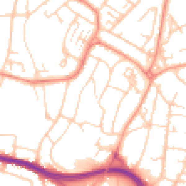
Daytime· 07:00 – 23:00
52.1dB

Night-time· 23:00 – 07:00
41.2dB