12 Rowborough Road, Southampton, SO18 4RS
About 12 Rowborough Road
12 Rowborough Road is a three-bedroom end-of-terrace house in Southampton (SO18 4RS). It has a recorded floor area of 83 m² (around 893 sq ft), construction records dating it to 1950-1966 and council tax band B. The latest certificate (October 2013) shows an E (score 47), well below the UK norm with real room to improve. The recommended improvements would lift it to C (score 76), a 2-band jump. The latest certificate is from October 2013, so improvements made since then won't be reflected.
Today's modelled estimate of £234,000 sits 67.1% above the 2014 sale of £140,000. On a £-per-square-foot basis, the last sale (£157/sq ft) was about 15% below the postcode norm. It lags the bulk of the postcode on energy efficiency (less efficient than 79% of similar EPCs). Last sold in March 2014, so it's been off the market for around 12 years. One historical planning record sits against the property in 2004.
What this property has
Inside
- Bedrooms3
- Dining roomYes
- CloakroomYes
Everything you need to know about 12 Rowborough Road
The true value, the hidden risks and the full sale history, in one report.
30-day money-back guarantee

The data behind every report


Energy performance
Recommended upgrades on file would lift this property by multiple EPC bands.
EPC Expired
This certificate is over 10 years old and is no longer valid.Expired 08 Oct 2023
EPC Rating
Planning history
- Sept 2004FullIn report
Construction of an access road and 9 no. car parking spaces on land adjacent to 2-24 Rowborough Road.
- Documents
- 7 docs on file
- Reference
- 04/00971/R3CFL
What's in 12 Rowborough Road, Southampton, SO18 4RS's planning history?
Refusals, disputes and full decisions on this property and nearby, in the report.
Sales history & valuation
12 Rowborough Road valuation sits well clear of the typical sold price in this postcode.
£234,000
Modelled from EPC, postcode comparables.
£140,000
Recorded with HM Land Registry.
Sales timeline
17 March 2014Most recent
£140,000
Median price across the last 5 sales in SO18 4RS: £280,000 (2024–2021).
Nearby sales in SO18 4RS
15 Rowborough Road, Southampton, SO18 4RS
Sold Dec 2024
£285,0008 Rowborough Road, Southampton, SO18 4RS
Sold Jun 2024
£285,0009 Rowborough Road, Southampton, SO18 4RS
Sold Jun 2024
£280,00011 Rowborough Road, Southampton, SO18 4RS
Sold Dec 2023
£215,0006 Rowborough Road, Southampton, SO18 4RS
Sold Nov 2018
£250,000
Versus other Rowborough Road homes
Habitable Rooms for 12 Rowborough Road lags the street by a wide margin.
Price per m²
£1,687
Street avg £2,245
Floor Area
83 m²
Street avg 92 m²
Habitable Rooms
4 rooms
Street avg 5 rooms
CO₂ Emissions
5.0 t/year
Street avg 4.0 t/year
Everything you need to know about 12 Rowborough Road
The true value, the hidden risks and the full sale history, in one report.
30-day money-back guarantee
The data behind every report
Similar properties nearby
1 Tedder Road
SO18 4SH
1 Rosyth Road
SO18 4RP
1 Rossington Avenue
SO18 4RT
1 Beechwood Gardens
SO18 4JU
1 Trent Road
SO18 4PR
1 Fernwood Crescent
SO18 4FF
1 Glenfield Crescent
SO18 4RG
1 Huntly Way
SO18 4EL
The neighbourhood at a glance
Reported crime in the wider district is trending notably upward year-on-year.
Crime
6/mo
Rising year-on-year across the wider district.
Nearest stop
0.2 km
Glenfield Avenue — bus stop.
Closest school
0.3 km
Glenfield Infant School. 34 schools nearby.
Go deeper on the local area
The full report breaks down crime, transport links, schools and air quality in depth.
Road noise across the postcode
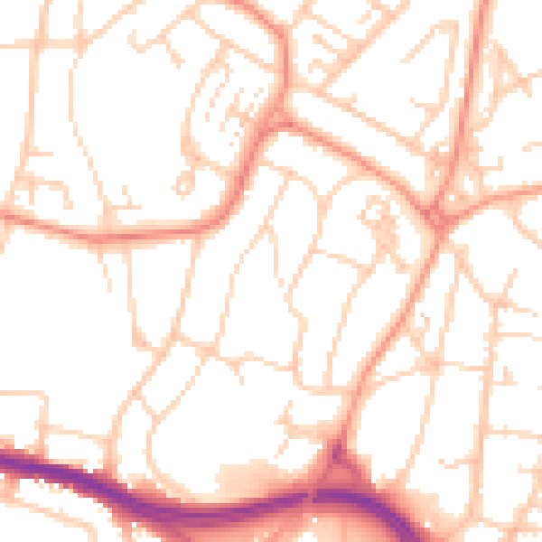
Daytime· 07:00 – 23:00
52.1dB

Night-time· 23:00 – 07:00
41.2dB