3 Monastery Road, Southampton, SO18 4HU
About 3 Monastery Road
3 Monastery Road is a semi-detached house in Southampton (SO18 4HU). It has a recorded floor area of 84 m² (around 904 sq ft), construction records dating it to 1930-1949 and council tax band C. The latest certificate (October 2021) shows a D (score 63), on the cusp of jumping into the C band. The rating has held steady at D across 2 certificates since November 2008. Between certificates, window efficiency dropped from Poor to Very Poor. The recommended improvements would lift it to B (score 84), a 2-band jump.
Held since October 2003 — that's 23 years off the open market, well above the local norm. Today's modelled estimate of £254,000 sits 167.4% above the 2003 sale of £95,000. On a £-per-square-foot basis, the last sale (£105/sq ft) was about 46.2% below the postcode norm.
Everything you need to know about 3 Monastery Road
The true value, the hidden risks and the full sale history, in one report.
30-day money-back guarantee

The data behind every report


Energy performance
Recommended upgrades on file would lift this property by multiple EPC bands.
EPC Rating
Property Improvements
Changes detected from historical EPC data
Heating controls upgraded for better temperature management
More low energy lighting installed
Planning history
3 Monastery Road has no planning applications on record.
The full report still covers planning activity across the surrounding area.
Sales history & valuation
3 Monastery Road valuation sits well clear of the typical sold price in this postcode.
£254,000
Modelled from EPC, postcode comparables.
£95,000
Recorded with HM Land Registry.
Sales timeline
8 October 2003Most recent
£95,000
Median price across the last 5 sales in SO18 4HU: £367,000 (2024–2019).
Nearby sales in SO18 4HU
13 Monastery Road, Southampton, SO18 4HU
Sold Aug 2024
£367,0009 Monastery Road, Southampton, SO18 4HU
Sold Sept 2023
£380,0001 Monastery Road, Southampton, SO18 4HU
Sold Jun 2022
£188,00017 Monastery Road, Southampton, SO18 4HU
Sold May 2022
£385,5007 Monastery Road, Southampton, SO18 4HU
Sold Apr 2019
£224,000
Versus other Monastery Road homes
Price per m² for 3 Monastery Road lags the street by a wide margin.
Price per m²
£1,131
Street avg £3,146
Floor Area
84 m²
Street avg 89 m²
Habitable Rooms
4 rooms
Street avg 4 rooms
CO₂ Emissions
3.6 t/year
Street avg 4.1 t/year
Everything you need to know about 3 Monastery Road
The true value, the hidden risks and the full sale history, in one report.
30-day money-back guarantee
The data behind every report
Similar properties nearby
The neighbourhood at a glance
Rail-style transport is unusually close for this postcode.
Crime
6/mo
Rising year-on-year across the wider district.
Nearest stop
0.2 km
Midanbury Lane — bus stop.
Closest school
0.2 km
Beechwood Junior School. 36 schools nearby.
Go deeper on the local area
The full report breaks down crime, transport links, schools and air quality in depth.
Road noise across the postcode
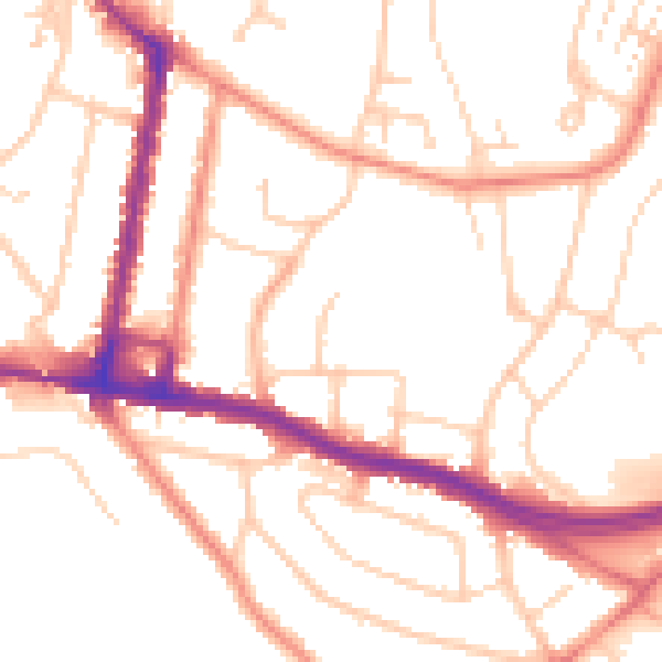
Daytime· 07:00 – 23:00
51.9dB

Night-time· 23:00 – 07:00
42.1dB