19 Monastery Road, Southampton, SO18 4HU
About 19 Monastery Road
19 Monastery Road is a three-bedroom property in Southampton (SO18 4HU). It has council tax band D.
Untraded for 20 years, with the last transfer in November 2006. One planning record on file: an extension approved in 2007. Past consents include an extension, meaningful when judging how the property has evolved. Across 2001–2006, sale prices on this property compounded at 11.1% per year.
What this property has
Inside
- Bedrooms3
Everything you need to know about 19 Monastery Road
The true value, the hidden risks and the full sale history, in one report.
30-day money-back guarantee

The data behind every report


Energy performance
No EPC on record
This property doesn't have an Energy Performance Certificate yet. An EPC is required to sell or let — and unlocks our automated valuation.
Planning history
19 Monastery Road has an approved single-storey side extension on the planning record.
- Jun 2007ExtensionFullIn report
Extension: Single storey · Side of property
Erection of a single storey side extension.
- Documents
- 5 docs on file
- Reference
- 07/00629/FUL
What's in 19 Monastery Road, Southampton, SO18 4HU's planning history?
Refusals, disputes and full decisions on this property and nearby, in the report.
Sales history & valuation
£235,500
Growth on file: 11.1% per year over 6 years.
Sales timeline
10 November 2006Most recent
£235,500
+79.8%over 5 years19 April 2001
£131,000
Median price across the last 5 sales in SO18 4HU: £367,000 (2024–2019).
Nearby sales in SO18 4HU
13 Monastery Road, Southampton, SO18 4HU
Sold Aug 2024
£367,0009 Monastery Road, Southampton, SO18 4HU
Sold Sept 2023
£380,0001 Monastery Road, Southampton, SO18 4HU
Sold Jun 2022
£188,00017 Monastery Road, Southampton, SO18 4HU
Sold May 2022
£385,5007 Monastery Road, Southampton, SO18 4HU
Sold Apr 2019
£224,000
Everything you need to know about 19 Monastery Road
The true value, the hidden risks and the full sale history, in one report.
30-day money-back guarantee
The data behind every report
Similar properties nearby
1 Huntly Way
SO18 4EL
1 Cobden Crescent
SO18 4EX
1 Glenfield Crescent
SO18 4RG
1 Fernwood Crescent
SO18 4FF
1 Trent Road
SO18 4PR
1 Beechwood Gardens
SO18 4JU
1 Rossington Avenue
SO18 4RT
1 Rosyth Road
SO18 4RP
The neighbourhood at a glance
Rail-style transport is unusually close for this postcode.
Crime
6/mo
Rising year-on-year across the wider district.
Nearest stop
0.2 km
Midanbury Lane — bus stop.
Closest school
0.2 km
Beechwood Junior School. 36 schools nearby.
Go deeper on the local area
The full report breaks down crime, transport links, schools and air quality in depth.
Road noise across the postcode
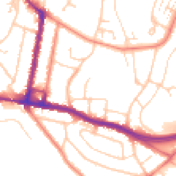
Daytime· 07:00 – 23:00
51.9dB

Night-time· 23:00 – 07:00
42.1dB