27 Glenfield Avenue, Southampton, SO18 4EQ
About 27 Glenfield Avenue
27 Glenfield Avenue is a three-bedroom property in Southampton (SO18 4EQ). It has council tax band C. The home occupies a cul-de-sac position.
Untraded for 19 years, with the last transfer in February 2007. Across the public record there are 4 sales, relatively high churn for a single property. That sale landed at the peak of the pre-credit-crunch market, which is a useful reference point when interpreting the price. Across 1997–2007, sale prices on this property compounded at 16.6% per year.
What this property has
Inside
- Bedrooms3
- Bathrooms1
- Dining roomYes
Outside
- Private gardenRear
- GarageYes
- Cul-de-sacYes
Everything you need to know about 27 Glenfield Avenue
The true value, the hidden risks and the full sale history, in one report.
30-day money-back guarantee

The data behind every report


Energy performance
No EPC on record
This property doesn't have an Energy Performance Certificate yet. An EPC is required to sell or let — and unlocks our automated valuation.
Planning history
27 Glenfield Avenue has no planning applications on record.
The full report still covers planning activity across the surrounding area.
Sales history & valuation
Price for 27 Glenfield Avenue has grown more than fourfold since the 1997 starting point.
£212,000
Growth on file: 16.6% per year over 10 years.
Sales timeline
2 February 2007Most recent
£212,000
+13.1%over 2 years12 March 2004
£187,500
+150.2%over 6 years7 April 1997
£74,950
+64.7%24 January 1997
£45,500
Median price across the last 5 sales in SO18 4EQ: £258,000 (2024–2012).
Nearby sales in SO18 4EQ
25 Glenfield Avenue, Southampton, SO18 4EQ
Sold Sept 2024
£375,00021 Glenfield Avenue, Southampton, SO18 4EQ
Sold Sept 2021
£345,00019 Glenfield Avenue, Southampton, SO18 4EQ
Sold Apr 2016
£258,0007 Glenfield Avenue, Southampton, SO18 4EQ
Sold Jun 2012
£225,0003 Glenfield Avenue, Southampton, SO18 4EQ
Sold May 2007
£245,000
Everything you need to know about 27 Glenfield Avenue
The true value, the hidden risks and the full sale history, in one report.
30-day money-back guarantee
The data behind every report
Similar properties nearby
1 Huntly Way
SO18 4EL
1 Cobden Crescent
SO18 4EX
1 Glenfield Crescent
SO18 4RG
1 Fernwood Crescent
SO18 4FF
1 Trent Road
SO18 4PR
1 Beechwood Gardens
SO18 4JU
1 Rossington Avenue
SO18 4RT
1 Rosyth Road
SO18 4RP
The neighbourhood at a glance
Rail-style transport is unusually close for this postcode.
Crime
6/mo
Rising year-on-year across the wider district.
Nearest stop
0.0 km
Huntly Way — bus stop.
Closest school
0.1 km
Beechwood Junior School. 35 schools nearby.
Go deeper on the local area
The full report breaks down crime, transport links, schools and air quality in depth.
Road noise across the postcode
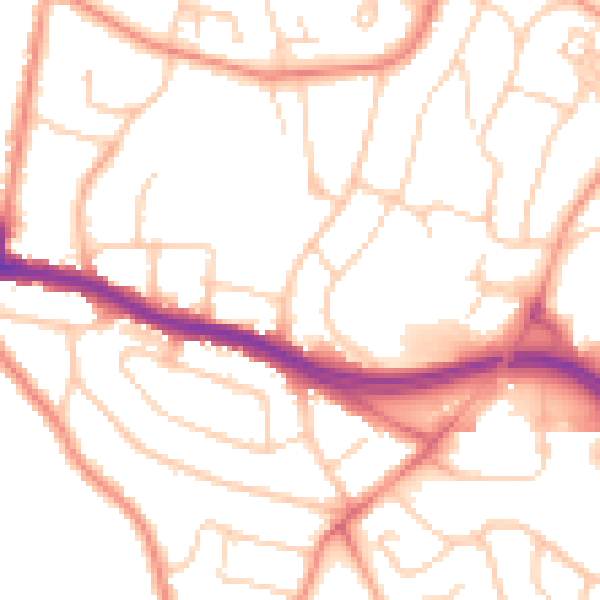
Daytime· 07:00 – 23:00
52.0dB

Night-time· 23:00 – 07:00
41.6dB