15 Glenfield Avenue, Southampton, SO18 4EQ
About 15 Glenfield Avenue
15 Glenfield Avenue is a detached house in Southampton (SO18 4EQ). It has a recorded floor area of 81 m² (around 872 sq ft), construction records dating it to 1930-1949 and council tax band D. The latest certificate (September 2024) shows a D (score 60), on the cusp of jumping into the C band. The recommended improvements would lift it to B (score 82), a 2-band jump.
Everything you need to know about 15 Glenfield Avenue
The true value, the hidden risks and the full sale history, in one report.
30-day money-back guarantee

The data behind every report


Energy performance
Recommended upgrades on file would lift this property by multiple EPC bands.
EPC Rating
Planning history
15 Glenfield Avenue has no planning applications on record.
The full report still covers planning activity across the surrounding area.
Sales history & valuation
15 Glenfield Avenue has no Land Registry sales on file, suggesting it has stayed in the same hands since registration began.
£318,000
Modelled from EPC, postcode comparables.
No sales recorded with HM Land Registry
That can mean the property has never traded since the registry began publishing in 1995, was a new build that hasn't been registered yet, or is held in the same hands long-term.
Median price across the last 5 sales in SO18 4EQ: £258,000 (2024–2012).
Nearby sales in SO18 4EQ
25 Glenfield Avenue, Southampton, SO18 4EQ
Sold Sept 2024
£375,00021 Glenfield Avenue, Southampton, SO18 4EQ
Sold Sept 2021
£345,00019 Glenfield Avenue, Southampton, SO18 4EQ
Sold Apr 2016
£258,0007 Glenfield Avenue, Southampton, SO18 4EQ
Sold Jun 2012
£225,0003 Glenfield Avenue, Southampton, SO18 4EQ
Sold May 2007
£245,000
Versus other Glenfield Avenue homes
EPC Rating for 15 Glenfield Avenue lags the street by a wide margin.
EPC Rating
60 (D)
Street avg 71 (C)
Floor Area
81 m²
Street avg 104 m²
CO₂ Emissions
3.8 t/year
Street avg 3.1 t/year
Habitable Rooms
5 rooms
Street avg 6 rooms
Everything you need to know about 15 Glenfield Avenue
The true value, the hidden risks and the full sale history, in one report.
30-day money-back guarantee
The data behind every report
Similar properties nearby
1 Glenfield Crescent
SO18 4RG
1 Maple Road
SO18 4EF
1 Huntly Way
SO18 4EL
1 Fernwood Crescent
SO18 4FF
1 Trent Road
SO18 4PR
10 Beechwood Gardens
SO18 4JU
1 Midanbury Crescent
SO18 4FN
1 Avon Road
SO18 4FR
The neighbourhood at a glance
Rail-style transport is unusually close for this postcode.
Crime
6/mo
Rising year-on-year across the wider district.
Nearest stop
0.0 km
Huntly Way — bus stop.
Closest school
0.1 km
Beechwood Junior School. 35 schools nearby.
Go deeper on the local area
The full report breaks down crime, transport links, schools and air quality in depth.
Road noise across the postcode
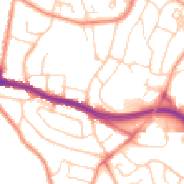
Daytime· 07:00 – 23:00
52.0dB

Night-time· 23:00 – 07:00
41.6dB