3 Capon Close, Southampton, SO18 2LH
About 3 Capon Close
3 Capon Close is a three-bedroom mid-terrace house in Southampton (SO18 2LH). It has a recorded floor area of 73 m² (around 786 sq ft), construction records dating it to 1930-1949 and council tax band B. The latest certificate (May 2025) shows a D (score 63), on the cusp of jumping into the C band. The recommended improvements would lift it to B (score 84), a 2-band jump. Other recorded features include outbuildings.
It hasn't traded since May 2008, a hold of 18 years that's notably long for the area. That sale landed at the peak of the pre-credit-crunch market, which is a useful reference point when interpreting the price. Today's modelled estimate of £239,000 sits 229.7% above the 2008 sale of £72,500. On a £-per-square-foot basis, the last sale (£92/sq ft) was about 48% below the postcode norm.
What this property has
Inside
- Bedrooms3
- Bathrooms1
- Dining roomYes
- CloakroomYes
Outside
- Private gardenYes
- OutbuildingsYes
Building
- Heating systemGas
Everything you need to know about 3 Capon Close
The true value, the hidden risks and the full sale history, in one report.
30-day money-back guarantee

The data behind every report


Energy performance
Recommended upgrades on file would lift this property by multiple EPC bands.
EPC Rating
Planning history
3 Capon Close has no planning applications on record.
The full report still covers planning activity across the surrounding area.
Sales history & valuation
3 Capon Close's estimated value is more than triple its earliest registered sale price (2008).
£239,000
Modelled from EPC, postcode comparables.
£72,500
Recorded with HM Land Registry.
Sales timeline
22 May 2008Most recent
£72,500
Median price across the last 5 sales in SO18 2LH: £225,000 (2024–2017).
Nearby sales in SO18 2LH
Versus other Capon Close homes
Habitable Rooms for 3 Capon Close lags the street by a wide margin.
Price per m²
£993
Street avg £1,982
Floor Area
73 m²
Street avg 74 m²
Habitable Rooms
4 rooms
Street avg 5 rooms
CO₂ Emissions
2.8 t/year
Street avg 3.0 t/year
Everything you need to know about 3 Capon Close
The true value, the hidden risks and the full sale history, in one report.
30-day money-back guarantee
The data behind every report
Similar properties nearby
The neighbourhood at a glance
Rail-style transport is unusually close for this postcode.
Crime
6/mo
Rising year-on-year across the wider district.
Nearest stop
0.1 km
Monks Way — bus stop.
Closest school
0.2 km
Mansbridge Primary School. 21 schools nearby.
Go deeper on the local area
The full report breaks down crime, transport links, schools and air quality in depth.
Road noise across the postcode
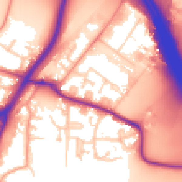
Daytime· 07:00 – 23:00
59.0dB

Night-time· 23:00 – 07:00
52.2dB