9 Cornwall Road, Southampton, SO18 2AS
About 9 Cornwall Road
9 Cornwall Road is a three-bedroom detached house in Southampton (SO18 2AS). It has a recorded floor area of 68 m² (around 732 sq ft), construction records dating it to 1930-1949 and council tax band C. The latest certificate (March 2025) shows a D (score 55), a step below the typical UK home. The rating has held steady at D across 2 certificates since September 2015. Between certificates, window efficiency went from Very Poor to Average. The recommended improvements would push it to C (score 79).
Most recent transfer was July 2025 at £327,500 — fresh data. Across 2015–2025, sale prices on this property compounded at 6.7% per year. On a £-per-square-foot basis, the last sale (£447/sq ft) was about 96.7% above the typical sold price in the postcode.
What this property has
Inside
- Bedrooms3
- Bathrooms1
Everything you need to know about 9 Cornwall Road
The true value, the hidden risks and the full sale history, in one report.
30-day money-back guarantee

The data behind every report


Energy performance
EPC Rating
Property Improvements
Changes detected from historical EPC data
Single glazing replaced with double or better glazing
Planning history
9 Cornwall Road has no planning applications on record.
The full report still covers planning activity across the surrounding area.
Sales history & valuation
9 Cornwall Road saw 3 transfers in just over a decade — high turnover for the postcode.
£329,000
Modelled from EPC, postcode comparables and a sale-price growth of 6.7% per year over 10 years.
£327,500
Growth on file: 6.7% per year over 10 years.
Sales timeline
21 July 2025Most recent
£327,500
+23.1%over 8 years4 November 2016
£266,000
+52.0%over 11 months4 December 2015
£175,000
Median price across the last 5 sales in SO18 2AS: £295,000 (2024–2017).
Nearby sales in SO18 2AS
19 Cornwall Road, Southampton, SO18 2AS
Sold Sept 2024
£350,0003 Cornwall Road, Southampton, SO18 2AS
Sold Oct 2021
£295,00025 Cornwall Road, Southampton, SO18 2AS
Sold Sept 2019
£220,00027 Cornwall Road, Southampton, SO18 2AS
Sold Jun 2017
£246,00011 Cornwall Road, Southampton, SO18 2AS
Sold May 2016
£265,000
Versus other Cornwall Road homes
9 Cornwall Road is notably below the street on years held.
Price per m²
£4,816
Street avg £2,814
Floor Area
68 m²
Street avg 79 m²
Habitable Rooms
5 rooms
Street avg 5 rooms
CO₂ Emissions
3.4 t/year
Street avg 3.6 t/year
Everything you need to know about 9 Cornwall Road
The true value, the hidden risks and the full sale history, in one report.
30-day money-back guarantee
The data behind every report
Similar properties nearby
The neighbourhood at a glance
Reported crime in the wider district is trending notably upward year-on-year.
Crime
6/mo
Rising year-on-year across the wider district.
Nearest stop
0.1 km
Cornwall Road — bus stop.
Closest school
0.4 km
Bitterne Park School. 28 schools nearby.
Go deeper on the local area
The full report breaks down crime, transport links, schools and air quality in depth.
Road noise across the postcode
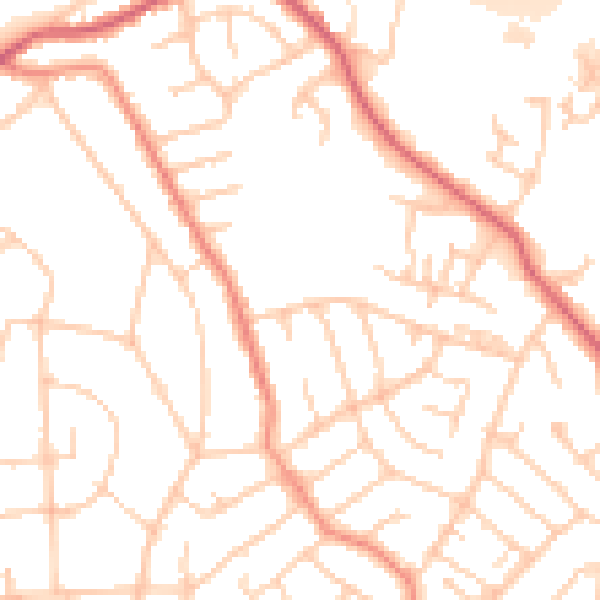
Daytime· 07:00 – 23:00
51.4dB

Night-time· 23:00 – 07:00
42.3dB