39 Newton Road, Southampton, SO18 1NJ
About 39 Newton Road
39 Newton Road is a three-bedroom semi-detached house in Southampton (SO18 1NJ). It has a recorded floor area of 95 m² (around 1023 sq ft), construction records dating it to 1930-1949 and council tax band A. The latest certificate (August 2024) shows a C (score 71). When first surveyed in September 2014 the rating was D, the property has climbed 1 band since. Between certificates, lighting went from Poor to Very Good; while wall efficiency dropped from Good to Average. The recommended improvements would push it to B (score 83).
Its energy rating outperforms most of the postcode (better than 85% of similar EPCs). Across 1999–2015, sale prices on this property compounded at 7.8% per year. Today's modelled estimate of £339,000 is 41.3% above the 2015 sale price. On a £-per-square-foot basis, the last sale (£235/sq ft) was about 37.6% above the typical sold price in the postcode. Last sold in October 2015, so it's been off the market for around 11 years.
What this property has
Inside
- Bedrooms3
- Bathrooms1
Everything you need to know about 39 Newton Road
The true value, the hidden risks and the full sale history, in one report.
30-day money-back guarantee

The data behind every report


Energy performance
EPC Rating
Property Improvements
Changes detected from historical EPC data
Changed to a more efficient fuel source
Heating controls changed
More low energy lighting installed
Fuel source changed
Heating controls upgraded for better temperature management
Windows upgraded, improving insulation
Cavity wall insulation installed
Planning history
39 Newton Road has no planning applications on record.
Notable planning nearby
5applications of note in the surrounding area
We flagged 1 thing worth checking at 39 Newton Road
Independent checks surfaced things a buyer would want to understand before offering. The report explains each one in full, with the underlying data and what to ask.
- Signs of HMO activity in the area
30-day money-back guarantee
Sales history & valuation
39 Newton Road has more than tripled in price since its earliest registered sale in 1999.
£339,000
Modelled from EPC, postcode comparables and a sale-price growth of 7.8% per year over 17 years.
£240,000
Growth on file: 7.8% per year over 17 years.
Sales timeline
8 October 2015Most recent
£240,000
+33.3%over 8 years8 December 2006
£180,000
+160.9%over 7 years12 March 1999
£69,000
Median price across the last 5 sales in SO18 1NJ: £385,000 (2025–2023).
Nearby sales in SO18 1NJ
Versus other Newton Road homes
39 Newton Road outperforms the street on epc rating by a wide margin.
Price per m²
£2,526
Street avg £2,663
Floor Area
95 m²
Street avg 107 m²
Habitable Rooms
5 rooms
Street avg 5 rooms
CO₂ Emissions
2.9 t/year
Street avg 4.2 t/year
Everything you need to know about 39 Newton Road
The true value, the hidden risks and the full sale history, in one report.
30-day money-back guarantee
The data behind every report
Similar properties nearby
1 Sandringham Road
SO18 1JL
1 Lacon Close
SO18 1JA
1 Englefield Road
SO18 1AW
1 Dimond Hill
SO18 1JF
1 Cobden Gardens
SO18 1LN
1 Cobden Rise, St Catherines Road
SO18 1DL
1 Hillside Avenue
SO18 1LD
1 River View Road
SO18 1NW
The neighbourhood at a glance
Reported crime in the wider district is trending notably upward year-on-year.
Crime
6/mo
Rising year-on-year across the wider district.
Nearest stop
0.1 km
Ashtree Road — bus stop.
Closest school
0.4 km
Bitterne Park Primary & Nursery School - Part of the Learning Federation Partnership of Schools. 32 schools nearby.
Go deeper on the local area
The full report breaks down crime, transport links, schools and air quality in depth.
Road noise across the postcode
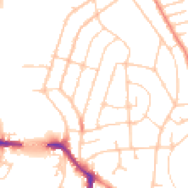
Daytime· 07:00 – 23:00
50.1dB

Night-time· 23:00 – 07:00
41.1dB