15 St Catherines Road, Southampton, SO18 1LL
About 15 St Catherines Road
15 St Catherines Road is a property in Southampton (SO18 1LL). It has council tax band A.
Held since December 1997 — that's 28 years off the open market, well above the local norm. Only one transfer is on record with HM Land Registry, suggesting it has stayed in the same hands for a long time. One planning record on file: an extension approved in 2015. Past consents include an extension, meaningful when judging how the property has evolved.
Everything you need to know about 15 St Catherines Road
The true value, the hidden risks and the full sale history, in one report.
30-day money-back guarantee

The data behind every report


Energy performance
No EPC on record
This property doesn't have an Energy Performance Certificate yet. An EPC is required to sell or let — and unlocks our automated valuation.
Planning history
15 St Catherines Road has an approved single-storey rear extension on the planning record.
- Jul 2015ExtensionFullIn report
Extension: Single storey · Rear of property
Erection of a single-storey rear extension.
- Documents
- 8 docs on file
- Reference
- 15/01098/FUL
We flagged 1 thing worth checking at 15 St Catherines Road
Independent checks surfaced things a buyer would want to understand before offering. The report explains each one in full, with the underlying data and what to ask.
- Signs of HMO activity in the area
30-day money-back guarantee
Sales history & valuation
15 St Catherines Road has been held in the same hands since before 2000.
£84,995
Recorded with HM Land Registry.
Sales timeline
5 December 1997Most recent
£84,995
Median price across the last 5 sales in SO18 1LL: £300,000 (2020–2013).
Nearby sales in SO18 1LL
11a, St Catherines Road, Southampton, SO18 1LL
Sold Dec 2020
£168,0005 St Catherines Road, Southampton, SO18 1LL
Sold Aug 2018
£162,00021 St Catherines Road, Southampton, SO18 1LL
Sold Aug 2016
£300,0001 St Catherines Road, Southampton, SO18 1LL
Sold Jun 2016
£430,00017 St Catherines Road, Southampton, SO18 1LL
Sold Aug 2006
£258,000
Everything you need to know about 15 St Catherines Road
The true value, the hidden risks and the full sale history, in one report.
30-day money-back guarantee
The data behind every report
Similar properties nearby
The neighbourhood at a glance
Rail-style transport is unusually close for this postcode.
Crime
6/mo
Rising year-on-year across the wider district.
Nearest stop
0.1 km
Bond Road — bus stop.
Closest school
0.6 km
Bitterne Park Primary & Nursery School - Part of the Learning Federation Partnership of Schools. 34 schools nearby.
Go deeper on the local area
The full report breaks down crime, transport links, schools and air quality in depth.
Road noise across the postcode
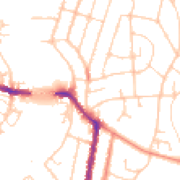
Daytime· 07:00 – 23:00
50.5dB

Night-time· 23:00 – 07:00
41.2dB