308a, Bitterne Road West, Southampton, SO18 1BQ
About 308a
308a is a semi-detached house in Southampton (SO18 1BQ). It has a recorded floor area of 46 m² (around 495 sq ft), construction records dating it to 1930-1949 and council tax band A. At 46 m² this is the 16th smallest of 39 units on EPC record in the building, where floor areas span 24–130 m². The building's EPC ratings span E to C, with this unit at the top. The latest certificate (September 2017) shows a C (score 69), just inside the C band.
It hasn't traded since March 2005, a hold of 21 years that's notably long for the area. Its energy rating outperforms most of the postcode (better than 76% of similar EPCs). On a £-per-square-foot basis, the last sale (£274/sq ft) was about 61.8% above the typical sold price in the postcode.
Everything you need to know about 308a
The true value, the hidden risks and the full sale history, in one report.
30-day money-back guarantee

The data behind every report


Energy performance
EPC Rating
Planning history
308a has no planning applications on record.
Notable planning nearby
5applications of note in the surrounding area
We flagged 1 thing worth checking at 308a
Independent checks surfaced things a buyer would want to understand before offering. The report explains each one in full, with the underlying data and what to ask.
- Signs of HMO activity in the area
30-day money-back guarantee
Sales history & valuation
308a valuation sits well clear of the typical sold price in this postcode.
£141,000
Modelled from EPC, postcode comparables.
£135,500
Recorded with HM Land Registry.
Sales timeline
23 March 2005Most recent
£135,500
Median price across the last 5 sales in SO18 1BQ: £290,000 (2025–2021).
Nearby sales in SO18 1BQ
320b, Bitterne Road West, Southampton, SO18 1BQ
Sold May 2025
£91,500336 Bitterne Road West, Southampton, SO18 1BQ
Sold Jan 2024
£390,000332 Bitterne Road West, Southampton, SO18 1BQ
Sold Sept 2022
£330,000316 Bitterne Road West, Southampton, SO18 1BQ
Sold Sept 2021
£175,000304 Bitterne Road West, Southampton, SO18 1BQ
Sold Jul 2020
£215,000
Versus other Bitterne Road West homes
On epc rating, 308a stands well clear of the street.
Price per m²
£2,946
Street avg £2,845
Floor Area
46 m²
Street avg 44 m²
Habitable Rooms
3 rooms
Street avg 2 rooms
CO₂ Emissions
1.9 t/year
Street avg 2.3 t/year
Everything you need to know about 308a
The true value, the hidden risks and the full sale history, in one report.
30-day money-back guarantee
The data behind every report
Similar properties nearby
The neighbourhood at a glance
Rail-style transport is unusually close for this postcode.
Crime
6/mo
Rising year-on-year across the wider district.
Nearest stop
0.1 km
Huntly Way — bus stop.
Closest school
0.2 km
Beechwood Junior School. 36 schools nearby.
Go deeper on the local area
The full report breaks down crime, transport links, schools and air quality in depth.
Road noise across the postcode
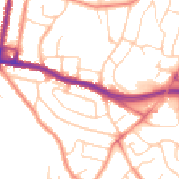
Daytime· 07:00 – 23:00
51.5dB

Night-time· 23:00 – 07:00
41.5dB