166a, Bitterne Road West, Southampton, SO18 1BG
About 166a
166a is an end-of-terrace house in Southampton (SO18 1BG). It has a recorded floor area of 27 m² (around 291 sq ft) and construction records dating it to 1967-1975. At 27 m² this is the 2nd smallest of 17 units on EPC record in the building, where floor areas span 21–88 m². The building's EPC ratings span E to C across 17 units on file. The latest certificate (July 2021) shows a D (score 64), on the cusp of jumping into the C band.
At 27 m² it sits well below the postcode median (41 m² across 16 EPCs), making it one of the more compact homes locally.
Everything you need to know about 166a
The true value, the hidden risks and the full sale history, in one report.
30-day money-back guarantee

The data behind every report


Energy performance
EPC Rating
Planning history
166a has no planning applications on record.
Notable planning nearby
5applications of note in the surrounding area
We flagged 1 thing worth checking at 166a
Independent checks surfaced things a buyer would want to understand before offering. The report explains each one in full, with the underlying data and what to ask.
- Signs of HMO activity in the area
30-day money-back guarantee
Sales history & valuation
166a has no Land Registry sales on file, suggesting it has stayed in the same hands since registration began.
£144,000
Modelled from EPC, postcode comparables.
No sales recorded with HM Land Registry
That can mean the property has never traded since the registry began publishing in 1995, was a new build that hasn't been registered yet, or is held in the same hands long-term.
Median price across the last 5 sales in SO18 1BG: £118,000 (2023–2014).
Nearby sales in SO18 1BG
168b, Bitterne Road West, Southampton, SO18 1BG
Sold Oct 2023
£130,000Flat 3, 176 Bitterne Road West, Southampton, SO18 1BG
Sold Sept 2022
£118,000168a, Bitterne Road West, Southampton, SO18 1BG
Sold Feb 2020
£145,000168 Bitterne Road West, Southampton, SO18 1BG
Sold Oct 2014
£85,000178a, Bitterne Road West, Southampton, SO18 1BG
Sold Sept 2011
£80,000
Versus other Bitterne Road West homes
On floor area, 166a runs well behind the street norm.
EPC Rating
64 (D)
Street avg 69 (D)
Floor Area
27 m²
Street avg 45 m²
CO₂ Emissions
1.7 t/year
Street avg 2.0 t/year
Habitable Rooms
2 rooms
Street avg 2 rooms
Everything you need to know about 166a
The true value, the hidden risks and the full sale history, in one report.
30-day money-back guarantee
The data behind every report
Similar properties nearby
The neighbourhood at a glance
Rail-style transport is unusually close for this postcode.
Crime
6/mo
Rising year-on-year across the wider district.
Nearest stop
0.1 km
Bullar Road — bus stop.
Closest school
0.1 km
Bitterne Manor Primary School. 36 schools nearby.
Go deeper on the local area
The full report breaks down crime, transport links, schools and air quality in depth.
Road noise across the postcode
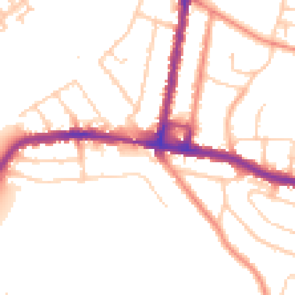
Daytime· 07:00 – 23:00
50.7dB

Night-time· 23:00 – 07:00
41.9dB