5 Rampart Road, Southampton, SO18 1AT
About 5 Rampart Road
5 Rampart Road is a three-bedroom semi-detached house in Southampton (SO18 1AT). It has a recorded floor area of 102 m² (around 1097 sq ft), construction records dating it to 1900-1929 and council tax band C. The latest certificate (August 2009) shows an E (score 54), well below the UK norm with real room to improve. The recommended improvements would lift it to C (score 73), a 2-band jump. The latest certificate is from August 2009, so improvements made since then won't be reflected. Other recorded features include outbuildings. Period features are noted in the property record.
It hasn't traded since October 2001, a hold of 25 years that's notably long for the area. Across 1997–2001, sale prices on this property compounded at 15.3% per year. Today's modelled estimate of £308,000 sits 161% above the 2001 sale of £118,000. On a £-per-square-foot basis, the last sale (£108/sq ft) was about 46.1% below the postcode norm.
What this property has
Inside
- Bedrooms3
- Dining roomYes
Outside
- Private gardenYes
- ParkingOff road
- OutbuildingsYes
Building
- Heating systemGas
- Period featuresYes
Everything you need to know about 5 Rampart Road
The true value, the hidden risks and the full sale history, in one report.
30-day money-back guarantee

The data behind every report


Energy performance
5 Rampart Road's carbon output runs well above what efficient homes in the postcode produce.
EPC Expired
This certificate is over 10 years old and is no longer valid.Expired 06 Aug 2019
EPC Rating
Planning history
5 Rampart Road has no planning applications on record.
Notable planning nearby
5applications of note in the surrounding area
We flagged 1 thing worth checking at 5 Rampart Road
Independent checks surfaced things a buyer would want to understand before offering. The report explains each one in full, with the underlying data and what to ask.
- Signs of HMO activity in the area
30-day money-back guarantee
Sales history & valuation
5 Rampart Road's modelled value sits at over four times its earliest registered sale price (1997).
£308,000
Modelled from EPC, postcode comparables and a sale-price growth of 15.3% per year over 5 years.
£118,000
Growth on file: 15.3% per year over 5 years.
Sales timeline
11 October 2001Most recent
£118,000
+66.2%over 4 years4 September 1997
£71,000
+14.6%31 March 1997
£61,950
Median price across the last 5 sales in SO18 1AT: £300,000 (2025–2017).
Nearby sales in SO18 1AT
Versus other Rampart Road homes
5 Rampart Road is notably below the street on price per m².
Price per m²
£1,158
Street avg £2,452
Floor Area
102 m²
Street avg 112 m²
Habitable Rooms
6 rooms
Street avg 5 rooms
CO₂ Emissions
6.0 t/year
Street avg 6.3 t/year
Everything you need to know about 5 Rampart Road
The true value, the hidden risks and the full sale history, in one report.
30-day money-back guarantee
The data behind every report
Similar properties nearby
1 Sandringham Road
SO18 1JL
1 Dimond Hill
SO18 1JF
1 Cobden Rise, St Catherines Road
SO18 1DL
1 Lacon Close
SO18 1JA
1 Englefield Road
SO18 1AW
1 Cobden Gardens
SO18 1LN
1 Hillside Avenue
SO18 1LD
1 River View Road
SO18 1NW
The neighbourhood at a glance
Rail-style transport is unusually close for this postcode.
Crime
6/mo
Rising year-on-year across the wider district.
Nearest stop
0.1 km
Rampart Road — bus stop.
Closest school
0.2 km
Bitterne Manor Primary School. 38 schools nearby.
Go deeper on the local area
The full report breaks down crime, transport links, schools and air quality in depth.
Road noise across the postcode
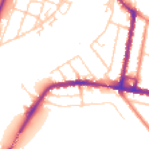
Daytime· 07:00 – 23:00
51.7dB

Night-time· 23:00 – 07:00
43.3dB