104 Bitterne Road West, Southampton, SO18 1AQ
About 104 Bitterne Road West
104 Bitterne Road West is a one-bedroom semi-detached house in Southampton (SO18 1AQ). It has a recorded floor area of 88 m² (around 947 sq ft), construction records dating it to 1930-1949 and council tax band B. The latest certificate (December 2022) shows a D (score 59), a step below the typical UK home. The recommended improvements would push it to C (score 79).
It hasn't traded since July 2006, a hold of 20 years that's notably long for the area. Today's modelled estimate of £257,000 sits 83.6% above the 2006 sale of £140,000. 1 bedrooms is on the smaller side for this postcode, where 3 is the typical count.
What this property has
Inside
- Bedrooms1
Everything you need to know about 104 Bitterne Road West
The true value, the hidden risks and the full sale history, in one report.
30-day money-back guarantee

The data behind every report


Energy performance
EPC Rating
Planning history
104 Bitterne Road West has no planning applications on record.
Notable planning nearby
5applications of note in the surrounding area
We flagged 1 thing worth checking at 104 Bitterne Road West
Independent checks surfaced things a buyer would want to understand before offering. The report explains each one in full, with the underlying data and what to ask.
- Signs of HMO activity in the area
30-day money-back guarantee
Sales history & valuation
104 Bitterne Road West valuation sits well clear of the typical sold price in this postcode.
£257,000
Modelled from EPC, postcode comparables.
£140,000
Recorded with HM Land Registry.
Sales timeline
27 July 2006Most recent
£140,000
Median price across the last 4 sales in SO18 1AQ: £135,000 (2024–1998).
Versus other Bitterne Road West homes
Price per m²
£1,591
Street avg £1,796
Floor Area
88 m²
Street avg 90 m²
Habitable Rooms
5 rooms
Street avg 5 rooms
CO₂ Emissions
3.9 t/year
Street avg 4.6 t/year
Everything you need to know about 104 Bitterne Road West
The true value, the hidden risks and the full sale history, in one report.
30-day money-back guarantee
The data behind every report
Similar properties nearby
1 Milden Court, 66 Sandringham Road
SO18 1JN
1 Cobden Rise, St Catherines Road
SO18 1DL
1 Dimond Hill
SO18 1JF
1 Sandringham Road
SO18 1JL
1 Lacon Close
SO18 1JA
1 Englefield Road
SO18 1AW
1 Cobden Gardens
SO18 1LN
1 Hillside Avenue
SO18 1LD
The neighbourhood at a glance
Rail-style transport is unusually close for this postcode.
Crime
6/mo
Rising year-on-year across the wider district.
Nearest stop
0.1 km
Rampart Road — bus stop.
Closest school
0.1 km
Bitterne Manor Primary School. 37 schools nearby.
Go deeper on the local area
The full report breaks down crime, transport links, schools and air quality in depth.
Road noise across the postcode
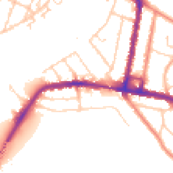
Daytime· 07:00 – 23:00
51.2dB

Night-time· 23:00 – 07:00
42.6dB