13 Benwell Close, Westlea, Swindon, SN5 7BY
About 13 Benwell Close
13 Benwell Close is a three-bedroom end-of-terrace house in Westlea, Swindon, Swindon (SN5 7BY). It has a recorded floor area of 111 m² (around 1190 sq ft), construction records dating it to 1983-1990 and council tax band C. The latest certificate (May 2010) shows a C (score 69), just inside the C band. The latest certificate is from May 2010, so improvements made since then won't be reflected. Other recorded features include a conservatory.
Untraded for 19 years, with the last transfer in November 2007. That sale landed at the peak of the pre-credit-crunch market, which is a useful reference point when interpreting the price. At 111 m² the property is well over the postcode median (82 m² across 24 EPCs), placing it in the larger end of the local stock. Across 2003–2007, sale prices on this property compounded at 3.3% per year. Today's modelled estimate of £289,000 sits 54.1% above the 2007 sale of £187,500. 2 planning records sit against the property, 2 approved, 0 refused. Past consents include an extension and a conservatory, meaningful when judging how the property has evolved.
Know exactly what you're buying at 13 Benwell Close
Before you offer, see what the listing won't tell you, the true value, the red flags and the full history.
Valuation
against the asking price
Risks
planning & flood
Sold prices
similar homes nearby
Trends
the local market
What this property has
Inside
- Bedrooms3
- ConservatoryYes
Outside
- Private gardenYes
- GarageYes
Energy performance
13 Benwell Close's EPC is over a decade old — improvements since won't be reflected.
EPC Expired
This certificate is over 10 years old and is no longer valid.Expired 24 May 2020
EPC Rating
Planning history
13 Benwell Close has an approved single-storey side and rear extension on the planning record.
- Jun 2022ExtensionFullIn report
Extension: Single storey · Side and rear of property
Erection of a first floor side/rear and single storey rear extension.
- Agent
- FSC
- Documents
- 8 docs on file
- Reference
- S/HOU/22/0168
- May 2000ConservatoryFullIn report
Extension: Rear of property
Erection of a conservatory and alteration to roof slope of existing single storey rear extension.
Extension- Reference
- S/00/0665
What's in 13 Benwell Close, Westlea, Swindon, SN5 7BY's planning history?
Refusals, disputes and full decisions on this property and nearby, in the report.
Sales history & valuation
The latest sale landed at the peak of the pre-credit-crunch market — a high-water reference point.
£289,000
Modelled from EPC, postcode comparables and a sale-price growth of 3.3% per year over 4 years.
£187,500
Growth on file: 3.3% per year over 4 years.
Sales timeline
2 November 2007Most recent
£187,500
+14.3%over 4 years2 October 2003
£164,000
Median price across the last 5 sales in SN5 7BY: £299,000 (2025–2022).
Nearby sales in SN5 7BY
32 Benwell Close, Westlea, Swindon, SN5 7BY
Sold Jan 2025
£299,00030 Benwell Close, Westlea, Swindon, SN5 7BY
Sold Nov 2024
£350,00028 Benwell Close, Westlea, Swindon, SN5 7BY
Sold Feb 2024
£260,00029 Benwell Close, Westlea, Swindon, SN5 7BY
Sold Nov 2022
£337,00023 Benwell Close, Westlea, Swindon, SN5 7BY
Sold Aug 2022
£250,000
Everything we know about 13 Benwell Close, in one report
What it's really worth, what could be wrong, and the planning, sales and area data in full.
- Am I paying too much?
- Is something wrong with it?
- Is the agent's story true?
- Will it hold its value?

Versus other Benwell Close homes
Price per m² for 13 Benwell Close lags the street by a wide margin.
Price per m²
£1,696
Street avg £2,670
Floor Area
111 m²
Street avg 88 m²
Habitable Rooms
5 rooms
Street avg 5 rooms
CO₂ Emissions
3.8 t/year
Street avg 3.0 t/year
Similar properties nearby
1 Dennis Street, Eastleaze
SN5 7FU
1 Cleasby Close, Westlea
SN5 7AE
1 Goldsborough Close, Eastleaze
SN5 7EP
1 Chesterfield Close, Westlea
SN5 7DT
1 Castlefield Close, Eastleaze
SN5 7EG
1 Littlecote Close, Westlea
SN5 7AL
1 Melrose Close, Westlea
SN5 7ED
1 Kirktonhill Road, Westlea
SN5 7AF
The neighbourhood at a glance
Crime
2/mo
Steady year-on-year across the wider district.
Nearest stop
0.2 km
Birdcombe Road — bus stop.
Closest school
0.2 km
Westlea Primary School. 22 schools nearby.
Go deeper on the local area
The full report breaks down crime, transport links, schools and air quality in depth.
Road noise across the postcode
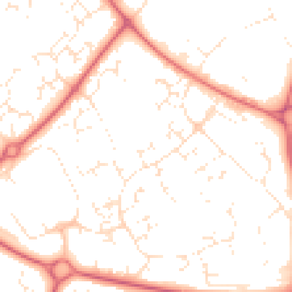
Daytime· 07:00 – 23:00
51.0dB
Night-time· 23:00 – 07:00
40.8dB