Are you a property professional?Get qualified leads from motivated homeowners.
Get started19 Church Lane, Melksham, SN12 7EE
3 sales on record
About 19 Church Lane
A plain-English summary derived from public records, EPC certificates, sold prices and local data.
19 Church Lane is a semi-detached house in Melksham (SN12 7EE). It has a recorded floor area of 44 m² (around 470 sq ft), construction records dating it to before 1900 and council tax band B. The latest certificate (November 2010) shows an E (score 44), well below the UK norm with real room to improve. Main heating runs on electricity. The latest certificate is from November 2010, so improvements made since then won't be reflected.
Sale prices here have outpaced England HPI: 5.6% per year against 0% for the wider region. Today's modelled estimate of £185,000 is 48% above the 2018 sale price. On a £-per-square-foot basis, the last sale (£266/sq ft) was about 63.9% above the typical sold price in the postcode. At 44 m² it sits well below the postcode median (79 m² across 15 EPCs), making it one of the more compact homes locally. Last sale on file: £125,000 in October 2018.
Energy performance
Every EPC certificate filed against this property — current rating, recorded improvements, and where there's headroom to reach a higher band.
19 Church Lane's EPC is over a decade old — improvements since won't be reflected.
EPC Expired
This certificate is over 10 years old and is no longer valid.Expired 10 Nov 2020
Sales history & valuation
Recorded transactions, our model's current estimate, and a quick read on what neighbouring properties have sold for.
Sale price has grown by over 3x since 1995.
Current estimate
See how we calculated this£185,000
Modelled from EPC, postcode comparables and a sale-price growth of 5.6% per year over 23 years.
Last sold (2018)
£125,000
Growth on file: 5.6% per year over 23 years.
Sales timeline
Versus other Church Lane homes
Four headline reads against 11 similar houses on this street, drawn from the latest EPC and Land Registry data.
Floor Area for 19 Church Lane lags the street by a wide margin.
Price per m²
£2,860
Street avg £2,517
Floor Area
44 m²
Street avg 93 m²
Habitable Rooms
2 rooms
Street avg 5 rooms
Similar properties nearby
A handful of close matches in the same postcode area, ranked by likeness on bedrooms, type and floor area.
The neighbourhood at a glance
A condensed read of the local area. Each tile links through to the full breakdown on the Melksham district page.
Daytime road noise here sits well below conversation level — a quiet pocket of the postcode.
Crime
6/mo
Steady year-on-year across the wider district.
Nearest stop
0.1 km
Road noise across the postcode
Modelled day and night-time noise levels around SN12 7EE from Defra's strategic mapping. The pin marks this postcode's centroid.
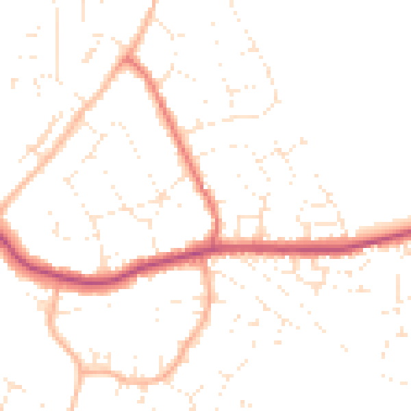
Daytime· 07:00 – 23:00
48.3dB

Everything within walking distance
Schools, transport stops and scenic spots near this property — 37 points of interest in total.
Beautiful places to visit nearby
Curated scenic spots within reach of this postcode, served by Beautifulplaces.ai. Photography and tagging come from their open dataset.
Common questions
The questions buyers, sellers and homeowners most often ask about 19 Church Lane, Melksham, SN12 7EE. Each answer is also embedded as structured data for search engines.