Sovereign Apartments, Apartment 16, 328 High Street, Sutton, SM1 1AP
About Sovereign Apartments
Sovereign Apartments is a detached house in Sutton (SM1 1AP). It has a recorded floor area of 80 m² (around 861 sq ft) and council tax band C. The latest certificate (July 2016) returns a high B (score 85), putting the home a stone's throw from an A rating. At 80 m² this is the 29th smallest of 41 units on EPC record in Sovereign Apartments, where floor areas span 46–93 m².
10 years since the last transfer (October 2016).
Everything you need to know about Sovereign Apartments
The true value, the hidden risks and the full sale history, in one report.
30-day money-back guarantee

The data behind every report


Energy performance
Sovereign Apartments's carbon output is low for the local stock.
EPC Rating
Planning history
Sovereign Apartments has no planning applications on record.
Notable planning nearby
19applications of note in the surrounding area
We flagged 2 things worth checking at Sovereign Apartments
Independent checks surfaced things a buyer would want to understand before offering. The report explains each one in full, with the underlying data and what to ask.
- Signs of HMO activity in the area
- Larger development activity nearby
30-day money-back guarantee
Sales history & valuation
Sovereign Apartments valuation sits well clear of the typical sold price in this postcode.
£332,000
Modelled from EPC, postcode comparables.
£320,000
Recorded with HM Land Registry.
Sales timeline
26 October 2016Most recent
£320,000
Median price across the last 5 sales in SM1 1AP: £348,000 (2024–2020).
Nearby sales in SM1 1AP
Sovereign Apartments, Apartment 4, 328 High Street, Sutton, SM1 1AP
Sold Oct 2024
£205,000Sovereign Apartments, Apartment 2, 328 High Street, Sutton, SM1 1AP
Sold Jun 2024
£348,000Sovereign Apartments, Apartment 20, 328 High Street, Sutton, SM1 1AP
Sold May 2024
£366,000Sovereign Apartments, Apartment 17, 328 High Street, Sutton, SM1 1AP
Sold Feb 2021
£357,000Sovereign Apartments, Apartment 32, 328 High Street, Sutton, SM1 1AP
Sold Jan 2019
£270,000
Versus other High Street homes
Sovereign Apartments outperforms the street on years held by a wide margin.
Price per m²
£4,000
Street avg £3,883
Floor Area
80 m²
Street avg 69 m²
CO₂ Emissions
0.6 t/year
Street avg 0.7 t/year
Years Held
10 years
Street avg 9 years
Everything you need to know about Sovereign Apartments
The true value, the hidden risks and the full sale history, in one report.
30-day money-back guarantee
The data behind every report
Similar properties nearby
210a, Flat 1, High Street
SM1 1NU
193a, Flat 3, High Street
SM1 1JU
193a, Flat 2, High Street
SM1 1JU
193a, Flat 1, High Street
SM1 1JU
198a, Apartment 1, High Street
SM1 1NY
182a, Flat 1, High Street
SM1 1NL
182a, Flat 2, High Street
SM1 1NL
198a, Apartment 3, High Street
SM1 1NY
The neighbourhood at a glance
Rail-style transport is unusually close for this postcode.
Crime
9/mo
Rising year-on-year across the wider district.
Nearest stop
0.0 km
Sutton Green — bus stop.
Closest school
0.4 km
All Saints Benhilton CofE Primary School. 48 schools nearby.
Go deeper on the local area
The full report breaks down crime, transport links, schools and air quality in depth.
Road noise across the postcode
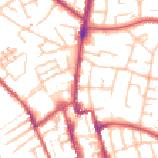
Daytime· 07:00 – 23:00
52.9dB

Night-time· 23:00 – 07:00
41.6dB