6 Beaufort Close, Marlow, SL7 1EN
About 6 Beaufort Close
6 Beaufort Close is a three-bedroom property in Marlow (SL7 1EN). It has council tax band E.
Held since March 2007 — that's 19 years off the open market, well above the local norm. That sale landed at the peak of the pre-credit-crunch market, which is a useful reference point when interpreting the price. Across 1997–2007, sale prices on this property compounded at 10.2% per year.
Know exactly what you're buying at 6 Beaufort Close
Before you offer, see what the listing won't tell you, the true value, the red flags and the full history.
Valuation
against the asking price
Risks
planning & flood
Sold prices
similar homes nearby
Trends
the local market
What this property has
Inside
- Bedrooms3
Energy performance
No EPC on record
This property doesn't have an Energy Performance Certificate yet. An EPC is required to sell or let — and unlocks our automated valuation.
Planning history
6 Beaufort Close has no planning applications on record.
The full report still covers planning activity across the surrounding area.
Sales history & valuation
Sale price has at least doubled since 1997.
£399,950
Growth on file: 10.2% per year over 10 years.
Sales timeline
28 March 2007Most recent
£399,950
+31.1%over 4 years11 June 2002
£305,000
+103.3%over 5 years28 February 1997
£150,000
Median price across the last 5 sales in SL7 1EN: £648,500 (2024–2017).
Everything we know about 6 Beaufort Close, in one report
What it's really worth, what could be wrong, and the planning, sales and area data in full.
- Am I paying too much?
- Is something wrong with it?
- Is the agent's story true?
- Will it hold its value?

Similar properties nearby
1 Allanson Road
SL7 1LE
1 Beaufort Close
SL7 1EN
1 Bisham Court, Bisham
SL7 1SD
1 Dedmere Rise
SL7 1PQ
1 Claremont Gardens
SL7 1BP
1 Archers Court, Station Road
SL7 1PT
1 Churchill Drive
SL7 1TN
1 Bisham Village, Marlow Road, Bisham
SL7 1RR
The neighbourhood at a glance
Rail-style transport is unusually close for this postcode.
Crime
3/mo
Steady year-on-year across the wider district.
Nearest stop
0.2 km
Liston Road — bus stop.
Closest school
0.5 km
Holy Trinity Church of England (Aided) School. 11 schools nearby.
Go deeper on the local area
The full report breaks down crime, transport links, schools and air quality in depth.
Road noise across the postcode
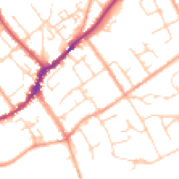
Daytime· 07:00 – 23:00
51.0dB

Night-time· 23:00 – 07:00
41.1dB