20 Claremont Gardens, Marlow, SL7 1BS
About 20 Claremont Gardens
20 Claremont Gardens is a five-bedroom detached house in Marlow (SL7 1BS). It has a recorded floor area of 174 m² (around 1873 sq ft), construction records dating it to 1930-1949 and council tax band G. The latest certificate (January 2013) shows a D (score 63), on the cusp of jumping into the C band. The recommended improvements would push it to C (score 80). The latest certificate is from January 2013, so improvements made since then won't be reflected.
4 planning records sit against the property, 1 approved, 0 refused, 1 pending. Past consents include an extension, meaningful when judging how the property has evolved. An active application for tree works is awaiting a decision. At 174 m² the property is well over the postcode median (120 m² across 17 EPCs), placing it in the larger end of the local stock. 5 bedrooms is on the larger side for this postcode, where 3 is the typical count. On the market in July 2014 and unlisted since — roughly 12 years. Across 2001–2014, sale prices on this property compounded at 8.1% per year. Today's modelled estimate of £1,344,000 is 29.9% above the 2014 sale price.
Know exactly what you're buying at 20 Claremont Gardens
Before you offer, see what the listing won't tell you, the true value, the red flags and the full history.
Valuation
against the asking price
Risks
planning & flood
Sold prices
similar homes nearby
Trends
the local market
What this property has
Inside
- Bedrooms5
- Dining roomYes
- Utility roomYes
- CloakroomYes
- EnsuiteYes
- StudyYes
Energy performance
20 Claremont Gardens's carbon output runs well above what efficient homes in the postcode produce.
EPC Expired
This certificate is over 10 years old and is no longer valid.Expired 07 Jan 2023
EPC Rating
Planning history
An application for tree works is currently awaiting a decision.
- Jul 2025Tree WorksTreesIn report
Reduce by 4m to previous pollard points to 1 x Walnut tree (T1) to suppress root system close to wall and small garden
- Documents
- 2 docs on file
- Reference
- PL/25/2360/TP
- Sept 2025Tree WorksTreesIn report
Reduce by 4m to previous pollard points to 1 x Walnut tree (T1) to suppress root system close to wall and small garden
- Documents
- 3 docs on file
- Reference
- PL/25/2360/TP
What's in 20 Claremont Gardens, Marlow, SL7 1BS's planning history?
2 more on this property, plus refusals, disputes and full decisions nearby, in the report.
Sales history & valuation
20 Claremont Gardens has more than doubled in price since the earliest registered sale in 2001.
£1,344,000
Modelled from EPC, postcode comparables and a sale-price growth of 8.1% per year over 13 years.
£1,035,000
Growth on file: 8.1% per year over 13 years.
Sales timeline
24 July 2014Most recent
£1,035,000
+43.8%over 9 years13 April 2005
£720,000
+89.2%over 3 years13 September 2001
£380,600
Median price across the last 5 sales in SL7 1BS: £999,950 (2024–2021).
Nearby sales in SL7 1BS
38 Claremont Gardens, Marlow, SL7 1BS
Sold Feb 2024
£1,150,000Maple Cottage, Claremont Gardens, Marlow, SL7 1BS
Sold Oct 2023
£999,95028 Claremont Gardens, Marlow, SL7 1BS
Sold Aug 2023
£1,360,00036 Claremont Gardens, Marlow, SL7 1BS
Sold Nov 2021
£875,0002a, Claremont Gardens, Marlow, SL7 1BS
Sold Jun 2021
£900,000
Everything we know about 20 Claremont Gardens, in one report
What it's really worth, what could be wrong, and the planning, sales and area data in full.
- Am I paying too much?
- Is something wrong with it?
- Is the agent's story true?
- Will it hold its value?

Versus other Claremont Gardens homes
20 Claremont Gardens outperforms the street on floor area by a wide margin.
Price per m²
£5,948
Street avg £7,208
Floor Area
174 m²
Street avg 121 m²
Habitable Rooms
9 rooms
Street avg 5 rooms
CO₂ Emissions
6.6 t/year
Street avg 4.4 t/year
Similar properties nearby
1 Davis Close
SL7 1SY
1 Beaumont Rise
SL7 1EF
1 Carlton Place
SL7 1AL
1 Archers Court, Station Road
SL7 1PT
1 Claremont Gardens
SL7 1BP
1 Dedmere Rise
SL7 1PQ
1 Beaufort Close
SL7 1EN
1 Allanson Road
SL7 1LE
The neighbourhood at a glance
Rail-style transport is unusually close for this postcode.
Crime
3/mo
Steady year-on-year across the wider district.
Nearest stop
0.1 km
Liston Road — bus stop.
Closest school
0.4 km
Holy Trinity Church of England (Aided) School. 11 schools nearby.
Go deeper on the local area
The full report breaks down crime, transport links, schools and air quality in depth.
Road noise across the postcode
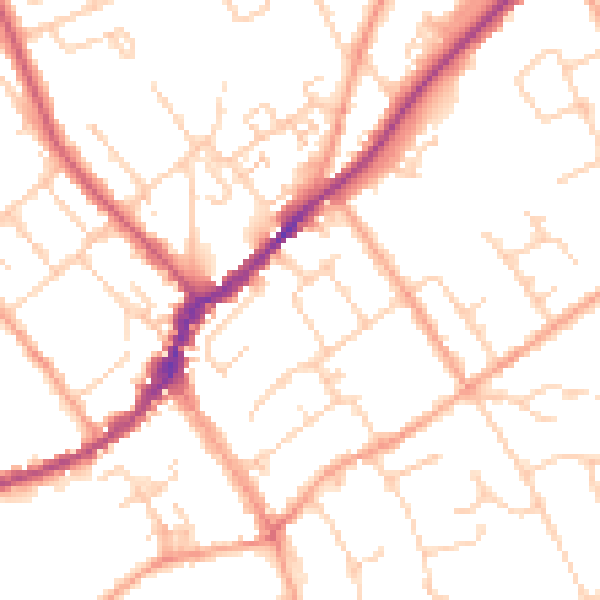
Daytime· 07:00 – 23:00
51.3dB

Night-time· 23:00 – 07:00
41.5dB