102 High Street, Marlow, SL7 1AQ
About 102 High Street
102 High Street is a five-bedroom end-of-terrace house in Marlow (SL7 1AQ). It has a recorded floor area of 227 m² (around 2443 sq ft) and council tax band G. The latest certificate (October 2009) shows an F (score 37), near the bottom of the EPC scale. The recommended improvements would push it to E (score 53). The latest certificate is from October 2009, so improvements made since then won't be reflected. Period features are noted in the property record.
At 227 m² the property is well over the postcode median (64 m² across 4 EPCs), placing it in the larger end of the local stock. On energy efficiency it sits in the bottom 10% of properties in this postcode — significant headroom for improvement. 5 bedrooms is on the larger side for this postcode, where 3 is the typical count. 12 planning records sit against the property, 9 approved, 2 refused. Past consents include new windows, an extension and a conservatory, meaningful when judging how the property has evolved. The record references listed-building consent, which constrain future alterations. Across 2000–2011, sale prices on this property compounded at 5.6% per year. Today's modelled estimate of £1,988,000 is 42% above the 2011 sale price. On a £-per-square-foot basis, the last sale (£573/sq ft) was about 63.5% above the typical sold price in the postcode. On the market in June 2011 and unlisted since — roughly 15 years.
Know exactly what you're buying at 102 High Street
Before you offer, see what the listing won't tell you, the true value, the red flags and the full history.
Valuation
against the asking price
Risks
planning & flood
Sold prices
similar homes nearby
Trends
the local market
What this property has
Inside
- Bedrooms5
- Bathrooms2
- Dining roomYes
Outside
- Private gardenYes
- GarageDouble
Building
- Heating systemElectric
- Period featuresYes
Energy performance
102 High Street sits at the bottom of the postcode for energy efficiency — meaningful headroom to improve.
EPC Expired
This certificate is over 10 years old and is no longer valid.Expired 18 Oct 2019
EPC Rating
Planning history
102 High Street has 2 separate extension applications on the council record.
- Dec 2024RenovationHeritageIn report
Listed building application for replacement of 2 No. windows to the southwest rear of the property
ListedNew Windows- Documents
- 9 docs on file
- Reference
- 24/06441/LBC
- Aug 2021ConditionsIn report
Application for approval of details subject to Condition 3 (Conservation Details) of planning ref: 21/05105/LBC
- Documents
- 5 docs on file
- Reference
- 21/06863/ADRC
What's in 102 High Street, Marlow, SL7 1AQ's planning history?
10 more on this property, plus refusals, disputes and full decisions nearby, in the report.
Sales history & valuation
102 High Street valuation sits well clear of the typical sold price in this postcode.
£1,988,000
Modelled from EPC, postcode comparables and a sale-price growth of 5.6% per year over 11 years.
£1,400,000
Growth on file: 5.6% per year over 11 years.
Sales timeline
9 June 2011Most recent
£1,400,000
31 August 2006
£1,400,000
+83.5%over 6 years27 April 2000
£763,150
Median price across the last 5 sales in SL7 1AQ: £365,000 (2025–2007).
Everything we know about 102 High Street, in one report
What it's really worth, what could be wrong, and the planning, sales and area data in full.
- Am I paying too much?
- Is something wrong with it?
- Is the agent's story true?
- Will it hold its value?

Versus other High Street homes
Price per m² for 102 High Street runs comfortably ahead of the street norm.
Price per m²
£6,167
Street avg £4,922
Floor Area
227 m²
Street avg 67 m²
Habitable Rooms
9 rooms
Street avg 4 rooms
CO₂ Emissions
14.0 t/year
Street avg 3.7 t/year
Similar properties nearby
1 Beaumont Rise
SL7 1EF
1 Davis Close
SL7 1SY
1 Carlton Place
SL7 1AL
1 Archers Court, Station Road
SL7 1PT
1 Claremont Gardens
SL7 1BP
1 Dedmere Rise
SL7 1PQ
1 Beaufort Close
SL7 1EN
1 Allanson Road
SL7 1LE
The neighbourhood at a glance
Rail-style transport is unusually close for this postcode.
Crime
3/mo
Steady year-on-year across the wider district.
Nearest stop
0.2 km
Court Garden Leisure Centre — bus stop.
Closest school
0.5 km
Sir William Borlase's Grammar School. 10 schools nearby.
Go deeper on the local area
The full report breaks down crime, transport links, schools and air quality in depth.
Road noise across the postcode
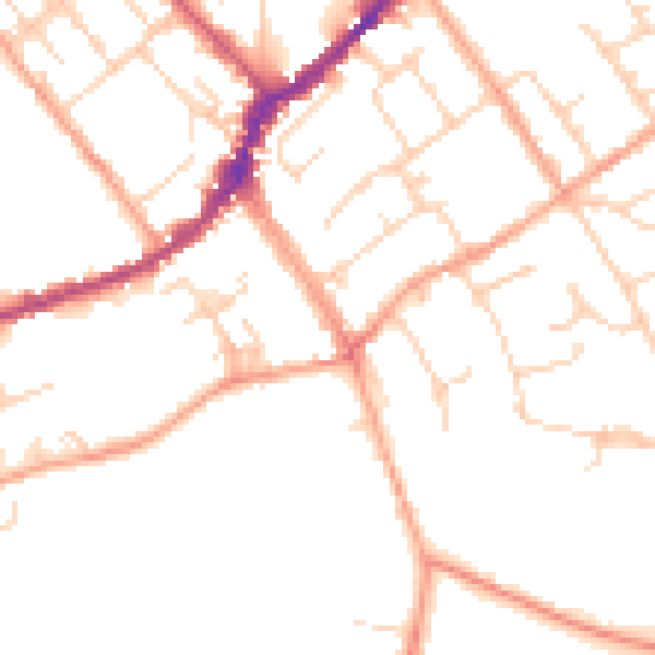
Daytime· 07:00 – 23:00
49.8dB

Night-time· 23:00 – 07:00
40.3dB