9 Culley Way, Maidenhead, SL6 3PX
About 9 Culley Way
9 Culley Way is a six-bedroom end-of-terrace house in Maidenhead (SL6 3PX). It has a recorded floor area of 182 m² (around 1959 sq ft), construction records dating it to 1967-1975 and council tax band E. The latest certificate (September 2017) shows a C (score 72).
At 182 m² the property is well over the postcode median (107 m² across 25 EPCs), placing it in the larger end of the local stock. 6 bedrooms is on the larger side for this postcode, where 4 is the typical count. One planning record on file: an extension approved in 2002. Past consents include an extension, meaningful when judging how the property has evolved. Today's modelled estimate of £766,000 is 38% above the 2021 sale price. Last sale on file: £555,000 in June 2021. That sale was during the post-pandemic price surge, when transactions cleared materially above pre-2020 trend.
What this property has
Inside
- Bedrooms6
Everything you need to know about 9 Culley Way
The true value, the hidden risks and the full sale history, in one report.
30-day money-back guarantee

The data behind every report


Energy performance
EPC Rating
Planning history
9 Culley Way has an approved side and rear extension on the planning record.
- Oct 2002ExtensionIn report
Extension: Side and rear of property
Single storey side/rear extension
- Reference
- 02/39032/FULL
We flagged 1 thing worth checking at 9 Culley Way
Independent checks surfaced things a buyer would want to understand before offering. The report explains each one in full, with the underlying data and what to ask.
- Larger development activity nearby
30-day money-back guarantee
Sales history & valuation
The latest sale landed in the post-pandemic price surge — useful context when reading the figure.
£766,000
Modelled from EPC, postcode comparables.
£555,000
Recorded with HM Land Registry.
Sales timeline
28 June 2021Most recent
£555,000
Median price across the last 5 sales in SL6 3PX: £585,000 (2025–2023).
Versus other Culley Way homes
9 Culley Way outperforms the street on floor area by a wide margin.
Price per m²
£3,049
Street avg £3,694
Floor Area
182 m²
Street avg 119 m²
Habitable Rooms
8 rooms
Street avg 6 rooms
CO₂ Emissions
5.3 t/year
Street avg 4.4 t/year
Everything you need to know about 9 Culley Way
The true value, the hidden risks and the full sale history, in one report.
30-day money-back guarantee
The data behind every report
Similar properties nearby
The neighbourhood at a glance
Crime
5/mo
Steady year-on-year across the wider district.
Nearest stop
0.1 km
Copthorn Close — bus stop.
Closest school
0.3 km
Cox Green School. 17 schools nearby.
Go deeper on the local area
The full report breaks down crime, transport links, schools and air quality in depth.
Road noise across the postcode
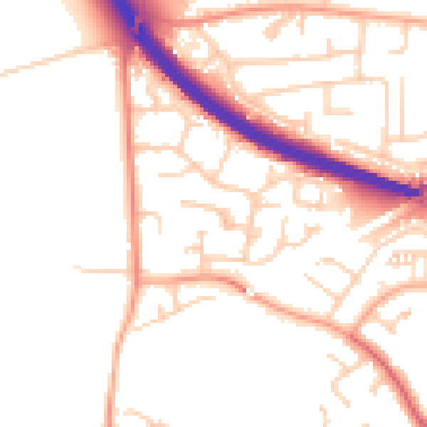
Daytime· 07:00 – 23:00
51.5dB

Night-time· 23:00 – 07:00
41.9dB