Are you a property professional?Get qualified leads from motivated homeowners.
Get started10 Charlesworth Crescent, Furness Vale, High Peak, SK23 7PR
5 sales on record
About 10 Charlesworth Crescent
A plain-English summary derived from public records, EPC certificates, sold prices and local data.
10 Charlesworth Crescent is a mid-terrace house in Furness Vale, High Peak, High Peak (SK23 7PR). It has a recorded floor area of 55 m² (around 592 sq ft), construction records dating it to 1950-1966 and council tax band A. At 55 m² this is the 29th smallest of 47 units on EPC record in the building, where floor areas span 35–84 m². The building's EPC ratings span E to C, with this unit at the top. The latest certificate (May 2024) shows a C (score 77), near the top of the C band. The rating has held steady at C across 2 certificates since January 2014. Between certificates, wall efficiency went from Poor to Average, window efficiency went from Average to Good and lighting went from Good to Very Good.
Sale prices here have outpaced High Peak HPI: 9.7% per year against 0% for the wider region. On a £-per-square-foot basis, the last sale (£203/sq ft) was about 71.6% above the typical sold price in the postcode. Its energy rating outperforms most of the postcode (better than 72% of similar EPCs). Most recent transfer: October 2023 at £120,000.
Energy performance
Every EPC certificate filed against this property — current rating, recorded improvements, and where there's headroom to reach a higher band.
Current Certificate(1 of 2)
May 2024
EPC Rating
A
B
C
C77
D
E
F
G
Main Heating
Gas
Main Fuel
Gas
Hot Water
Good
Windows
Good
CO2 Emissions
1.6 t/year
Occupancy
Rented
Sales history & valuation
Recorded transactions, our model's current estimate, and a quick read on what neighbouring properties have sold for.
Price for 10 Charlesworth Crescent has grown more than fourfold since the 1997 starting point.
Current estimate
See how we calculated this£118,000
Modelled from EPC, postcode comparables and a sale-price growth of 9.7% per year over 26 years.
Last sold (2023)
£120,000
Growth on file: 9.7% per year over 26 years.
Sales timeline
Versus other Charlesworth Crescent homes
Four headline reads against 22 similar flats on this street, drawn from the latest EPC and Land Registry data.
10 Charlesworth Crescent outperforms the street on price per m² by a wide margin.
Price per m²
£2,182
Street avg £1,714
Floor Area
55 m²
Street avg 57 m²
Habitable Rooms
4 rooms
Similar properties nearby
A handful of close matches in the same postcode area, ranked by likeness on bedrooms, type and floor area.
The neighbourhood at a glance
A condensed read of the local area. Each tile links through to the full breakdown on the High Peak district page.
Rail-style transport is unusually close for this postcode.
Crime
2/mo
Steady year-on-year across the wider district.
Nearest stop
0.1 km
Primary School — bus stop.
Road noise across the postcode
Modelled day and night-time noise levels around SK23 7PR from Defra's strategic mapping. The pin marks this postcode's centroid.
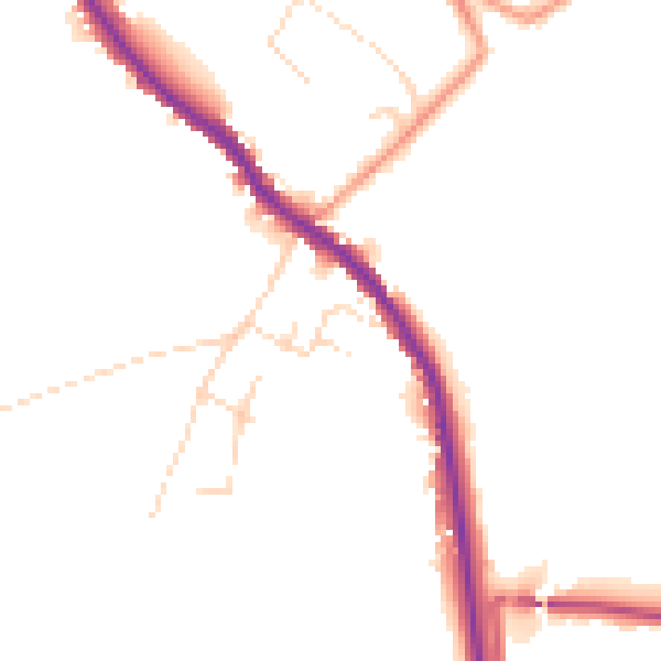
Daytime· 07:00 – 23:00
48.0dB
Everything within walking distance
Schools, transport stops and scenic spots near this property — 39 points of interest in total.
Beautiful places to visit nearby
Curated scenic spots within reach of this postcode, served by Beautifulplaces.ai. Photography and tagging come from their open dataset.
Common questions
The questions buyers, sellers and homeowners most often ask about 10 Charlesworth Crescent, Furness Vale, High Peak, SK23 7PR. Each answer is also embedded as structured data for search engines.