5 Harrington Drive, Gawsworth, Macclesfield, SK11 9RD
About 5 Harrington Drive
5 Harrington Drive is a detached house in Gawsworth, Macclesfield, Macclesfield (SK11 9RD). It has a recorded floor area of 121 m² (around 1302 sq ft), construction records dating it to 1967-1975 and council tax band E. The latest certificate (December 2016) shows a D (score 58), a step below the typical UK home. The recommended improvements would push it to C (score 80).
Everything you need to know about 5 Harrington Drive
The true value, the hidden risks and the full sale history, in one report.
30-day money-back guarantee

The data behind every report


Energy performance
5 Harrington Drive's carbon output runs well above what efficient homes in the postcode produce.
EPC Rating
Planning history
5 Harrington Drive has no planning applications on record.
Notable planning nearby
2applications of note in the surrounding area
We flagged 1 thing worth checking at 5 Harrington Drive
Independent checks surfaced things a buyer would want to understand before offering. The report explains each one in full, with the underlying data and what to ask.
- Larger development activity nearby
30-day money-back guarantee
Sales history & valuation
5 Harrington Drive has no Land Registry sales on file, suggesting it has stayed in the same hands since registration began.
£484,000
Modelled from EPC, postcode comparables.
No sales recorded with HM Land Registry
That can mean the property has never traded since the registry began publishing in 1995, was a new build that hasn't been registered yet, or is held in the same hands long-term.
Median price across the last 5 sales in SK11 9RD: £495,000 (2024–2022).
Nearby sales in SK11 9RD
3 Harrington Drive, Gawsworth, Macclesfield, SK11 9RD
Sold Jul 2024
£495,0001 Harrington Drive, Gawsworth, Macclesfield, SK11 9RD
Sold Jun 2024
£95017 Harrington Drive, Gawsworth, Macclesfield, SK11 9RD
Sold Jun 2023
£646,5254 Harrington Drive, Gawsworth, Macclesfield, SK11 9RD
Sold Mar 2023
£450,00029 Harrington Drive, Gawsworth, Macclesfield, SK11 9RD
Sold Mar 2022
£550,000
Versus other Harrington Drive homes
5 Harrington Drive is notably below the street on habitable rooms.
EPC Rating
58 (D)
Street avg 62 (D)
Floor Area
121 m²
Street avg 147 m²
CO₂ Emissions
6.5 t/year
Street avg 6.6 t/year
Habitable Rooms
5 rooms
Street avg 7 rooms
Everything you need to know about 5 Harrington Drive
The true value, the hidden risks and the full sale history, in one report.
30-day money-back guarantee
The data behind every report
Similar properties nearby
1 Congleton Lane, Chelford
SK11 9AG
1 Edgeway, Henbury
SK11 9PA
1 Chapel Croft, Chelford
SK11 9SU
1 Forge Close, Gawsworth
SK11 9EW
1 Blackcroft Barn, Holmes Chapel Road, Lower Withington
SK11 9DP
1 Alderley Road, Chelford
SK11 9AP
1 Ashcroft Drive, Chelford
SK11 9GF
1 Dingle Bank Cottages, Holmes Chapel Road, Lower Withington
SK11 9DP
The neighbourhood at a glance
Crime
6/mo
Steady year-on-year across the wider district.
Nearest stop
0.2 km
Marton Lane — bus stop.
Closest school
0.3 km
Gawsworth Primary School. 2 schools nearby.
Go deeper on the local area
The full report breaks down crime, transport links, schools and air quality in depth.
Road noise across the postcode
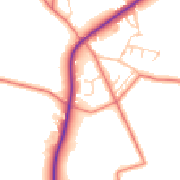
Daytime· 07:00 – 23:00
51.3dB

Night-time· 23:00 – 07:00
42.9dB