19 Harrington Drive, Gawsworth, Macclesfield, SK11 9RD
About 19 Harrington Drive
19 Harrington Drive is a detached house in Gawsworth, Macclesfield, Macclesfield (SK11 9RD). It has a recorded floor area of 183 m² (around 1970 sq ft), construction records dating it to 1950-1966 and council tax band G. The latest certificate (October 2015) shows an E (score 53), well below the UK norm with real room to improve. The recommended improvements would lift it to C (score 79), a 2-band jump. The latest certificate is from October 2015, so improvements made since then won't be reflected.
It hasn't traded since May 2005, a hold of 21 years that's notably long for the area. At 183 m² the property is well over the postcode median (131 m² across 18 EPCs), placing it in the larger end of the local stock. It lags the bulk of the postcode on energy efficiency (less efficient than 89% of similar EPCs). Today's modelled estimate of £718,000 sits 86.5% above the 2005 sale of £385,000. On a £-per-square-foot basis, the last sale (£195/sq ft) was about 22.9% below the postcode norm.
Everything you need to know about 19 Harrington Drive
The true value, the hidden risks and the full sale history, in one report.
30-day money-back guarantee

The data behind every report


Energy performance
19 Harrington Drive's carbon output runs well above what efficient homes in the postcode produce.
EPC Expired
This certificate is over 10 years old and is no longer valid.Expired 14 Oct 2025
EPC Rating
Planning history
19 Harrington Drive has no planning applications on record.
Notable planning nearby
2applications of note in the surrounding area
We flagged 1 thing worth checking at 19 Harrington Drive
Independent checks surfaced things a buyer would want to understand before offering. The report explains each one in full, with the underlying data and what to ask.
- Larger development activity nearby
30-day money-back guarantee
Sales history & valuation
19 Harrington Drive valuation sits well clear of the typical sold price in this postcode.
£718,000
Modelled from EPC, postcode comparables.
£385,000
Recorded with HM Land Registry.
Sales timeline
5 May 2005Most recent
£385,000
Median price across the last 5 sales in SK11 9RD: £495,000 (2024–2022).
Nearby sales in SK11 9RD
3 Harrington Drive, Gawsworth, Macclesfield, SK11 9RD
Sold Jul 2024
£495,0001 Harrington Drive, Gawsworth, Macclesfield, SK11 9RD
Sold Jun 2024
£95017 Harrington Drive, Gawsworth, Macclesfield, SK11 9RD
Sold Jun 2023
£646,5254 Harrington Drive, Gawsworth, Macclesfield, SK11 9RD
Sold Mar 2023
£450,00029 Harrington Drive, Gawsworth, Macclesfield, SK11 9RD
Sold Mar 2022
£550,000
Versus other Harrington Drive homes
CO₂ Emissions for 19 Harrington Drive lags the street by a wide margin.
Price per m²
£2,104
Street avg £2,523
Floor Area
183 m²
Street avg 143 m²
Habitable Rooms
8 rooms
Street avg 7 rooms
CO₂ Emissions
10.0 t/year
Street avg 6.4 t/year
Everything you need to know about 19 Harrington Drive
The true value, the hidden risks and the full sale history, in one report.
30-day money-back guarantee
The data behind every report
Similar properties nearby
1 Drumble Field, Chelford
SK11 9BT
1 Burnt Acre, Chelford
SK11 9SS
1 Galloway Road, Chelford
SK11 9FX
1 Brookhouse Barn, Congleton Road, Gawsworth
SK11 9ET
1 Forge Close, Gawsworth
SK11 9EW
1 Chapel Croft, Chelford
SK11 9SU
1 Congleton Lane, Chelford
SK11 9AG
1 Edgeway, Henbury
SK11 9PA
The neighbourhood at a glance
Crime
6/mo
Steady year-on-year across the wider district.
Nearest stop
0.2 km
Marton Lane — bus stop.
Closest school
0.3 km
Gawsworth Primary School. 2 schools nearby.
Go deeper on the local area
The full report breaks down crime, transport links, schools and air quality in depth.
Road noise across the postcode
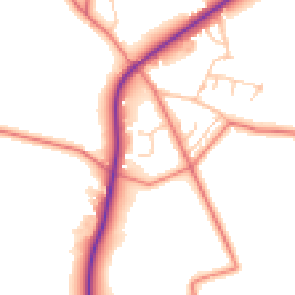
Daytime· 07:00 – 23:00
51.3dB

Night-time· 23:00 – 07:00
42.9dB