7 Arlington Drive, Macclesfield, SK11 8QL
About 7 Arlington Drive
7 Arlington Drive is a semi-detached house in Macclesfield (SK11 8QL). It has a recorded floor area of 106 m² (around 1139 sq ft), construction records dating it to 1930-1949 and council tax band D. The latest certificate (January 2011) shows a D (score 62), on the cusp of jumping into the C band. The recommended improvements would push it to C (score 71). The latest certificate is from January 2011, so improvements made since then won't be reflected.
Across 1998–2011, sale prices on this property compounded at 6.7% per year. Today's modelled estimate of £330,000 sits 76.5% above the 2011 sale of £187,000. On a £-per-square-foot basis, the last sale (£164/sq ft) was about 15.6% below the postcode norm. 15 years since the last transfer (September 2011).
Everything you need to know about 7 Arlington Drive
The true value, the hidden risks and the full sale history, in one report.
30-day money-back guarantee

The data behind every report


Energy performance
7 Arlington Drive's EPC is over a decade old — improvements since won't be reflected.
EPC Expired
This certificate is over 10 years old and is no longer valid.Expired 27 Jan 2021
EPC Rating
Planning history
7 Arlington Drive has no planning applications on record.
Notable planning nearby
3applications of note in the surrounding area
Sales history & valuation
Sale price has at least doubled since 1998.
£330,000
Modelled from EPC, postcode comparables and a sale-price growth of 6.7% per year over 13 years.
£187,000
Growth on file: 6.7% per year over 13 years.
Sales timeline
15 September 2011Most recent
£187,000
+139.7%over 13 years23 April 1998
£78,000
Median price across the last 5 sales in SK11 8QL: £356,000 (2025–2024).
Nearby sales in SK11 8QL
76 Arlington Drive, Macclesfield, SK11 8QL
Sold Oct 2025
£356,00033 Arlington Drive, Macclesfield, SK11 8QL
Sold Jul 2025
£415,00012 Arlington Drive, Macclesfield, SK11 8QL
Sold Mar 2025
£334,50052 Arlington Drive, Macclesfield, SK11 8QL
Sold Jan 2025
£343,00054 Arlington Drive, Macclesfield, SK11 8QL
Sold Dec 2024
£380,000
Versus other Arlington Drive homes
7 Arlington Drive is notably below the street on price per m².
Price per m²
£1,767
Street avg £2,568
Floor Area
106 m²
Street avg 93 m²
Habitable Rooms
5 rooms
Street avg 5 rooms
CO₂ Emissions
5.0 t/year
Street avg 4.9 t/year
Everything you need to know about 7 Arlington Drive
The true value, the hidden risks and the full sale history, in one report.
30-day money-back guarantee
The data behind every report
Similar properties nearby
The neighbourhood at a glance
Crime
6/mo
Steady year-on-year across the wider district.
Nearest stop
0.1 km
Earlsway — bus stop.
Closest school
0.2 km
St John the Evangelist CofE Primary School Macclesfield. 18 schools nearby.
Go deeper on the local area
The full report breaks down crime, transport links, schools and air quality in depth.
Road noise across the postcode
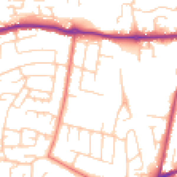
Daytime· 07:00 – 23:00
51.0dB

Night-time· 23:00 – 07:00
40.6dB