14 Arlington Drive, Macclesfield, SK11 8QL
About 14 Arlington Drive
14 Arlington Drive is a three-bedroom semi-detached house in Macclesfield (SK11 8QL). It has a recorded floor area of 77 m² (around 829 sq ft), construction records dating it to 1930-1949 and council tax band C. The latest certificate (November 2016) shows a D (score 63), on the cusp of jumping into the C band. The recommended improvements would lift it to B (score 86), a 2-band jump.
Today's modelled estimate of £310,000 sits 63.2% above the 2017 sale of £190,000. On a £-per-square-foot basis, the last sale (£229/sq ft) was about 20.1% above the typical sold price in the postcode. One planning record on file: an extension approved in 2019. Past consents include an extension, meaningful when judging how the property has evolved. 9 years since the last transfer (February 2017). At 77 m² it's 16.8% smaller than the typical home in the postcode (93 m² median across 40 EPCs).
What this property has
Inside
- Bedrooms3
- Bathrooms1
Everything you need to know about 14 Arlington Drive
The true value, the hidden risks and the full sale history, in one report.
30-day money-back guarantee

The data behind every report


Energy performance
Recommended upgrades on file would lift this property by multiple EPC bands.
EPC Rating
Planning history
14 Arlington Drive has an approved extension on the planning record.
- May 2019ExtensionFullIn report
PROPOSED SINGLE STOREY REAR AND SIDE EXTENSION TO CREATE ADDITIONAL LIVING SPACE
- Documents
- 5 docs on file
- Reference
- 19/1366M
What's in 14 Arlington Drive, Macclesfield, SK11 8QL's planning history?
Refusals, disputes and full decisions on this property and nearby, in the report.
Sales history & valuation
14 Arlington Drive valuation sits well clear of the typical sold price in this postcode.
£310,000
Modelled from EPC, postcode comparables.
£190,000
Recorded with HM Land Registry.
Sales timeline
24 February 2017Most recent
£190,000
Median price across the last 5 sales in SK11 8QL: £356,000 (2025–2024).
Nearby sales in SK11 8QL
76 Arlington Drive, Macclesfield, SK11 8QL
Sold Oct 2025
£356,00033 Arlington Drive, Macclesfield, SK11 8QL
Sold Jul 2025
£415,00012 Arlington Drive, Macclesfield, SK11 8QL
Sold Mar 2025
£334,50052 Arlington Drive, Macclesfield, SK11 8QL
Sold Jan 2025
£343,00054 Arlington Drive, Macclesfield, SK11 8QL
Sold Dec 2024
£380,000
Versus other Arlington Drive homes
Price per m²
£2,468
Street avg £2,549
Floor Area
77 m²
Street avg 94 m²
Habitable Rooms
5 rooms
Street avg 5 rooms
CO₂ Emissions
3.9 t/year
Street avg 4.9 t/year
Everything you need to know about 14 Arlington Drive
The true value, the hidden risks and the full sale history, in one report.
30-day money-back guarantee
The data behind every report
Similar properties nearby
1 Cambridge Avenue
SK11 8JN
1 Birchinall Close
SK11 8QS
1 Alderney Close
SK11 8SP
1 Beeston Terrace
SK11 8TJ
1 Baker Street
SK11 8EU
1 Barnard Close
SK11 8PH
1 Alma Close
SK11 8QQ
1 Cambridge Road
SK11 8JL
The neighbourhood at a glance
Crime
6/mo
Steady year-on-year across the wider district.
Nearest stop
0.1 km
Earlsway — bus stop.
Closest school
0.2 km
St John the Evangelist CofE Primary School Macclesfield. 18 schools nearby.
Go deeper on the local area
The full report breaks down crime, transport links, schools and air quality in depth.
Road noise across the postcode
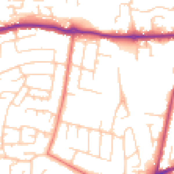
Daytime· 07:00 – 23:00
51.0dB

Night-time· 23:00 – 07:00
40.6dB